Hypnotherapy & Health Centre
Hypnotherapy & Health Centre is in Cirencester, Cotswold District, England, and is located on Dyer Street. Hypnotherapy & Health Centre is situated nearby to the guest house The Old Brewhouse, as well as near Young Performers.| Tap on a place to explore it |
Places of Interest Nearby
Highlights include The Old Brewhouse and Church of St John the Baptist.

Church of St John the Baptist
Church

Photo: Traveler100, CC BY-SA 3.0.
The Church of St. John Baptist, Cirencester is a parish church in the Church of England in Cirencester, Gloucestershire, England. It is a Grade I listed building. Church of St John the Baptist is situated 1,300 feet northwest of Hypnotherapy & Health Centre.
New Brewery Arts
Shopping center

Photo: Steve Daniels, CC BY-SA 2.0.
New Brewery Arts is a shopping center, which is situated 1,400 feet west of Hypnotherapy & Health Centre.
Places in the Area
Nearby places include Stratton and Kemble.
Stratton
Village

Photo: Dave Bushell, CC BY-SA 2.0.
Stratton is a village, ward and former civil parish about 22 miles from Gloucester, now in the parish of Cirencester, in the Cotswold district, in the county of Gloucestershire, England.
Kemble
Village

Photo: Arpingstone, Public domain.
Cirencester is a picturesque market town in the Cotswolds, in the county of Gloucestershire. It's an ancient market town with traditional Cotswold buildings and thriving shopping centre. Kemble is situated 3½ miles southwest of Hypnotherapy & Health Centre.
Woodmancote
Village
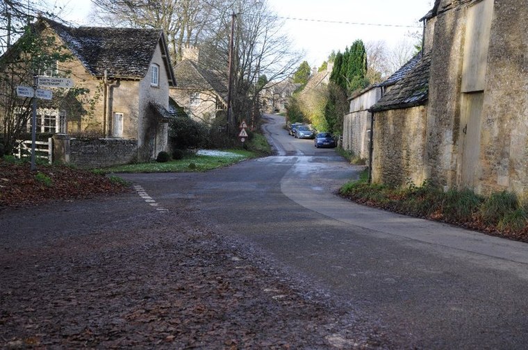
Photo: Philip Halling, CC BY-SA 2.0.
Woodmancote is a Cotswolds village near Cirencester, Gloucestershire, England. The village lies just off the A435. The village is 0.2 square miles in area. Woodmancote is situated 4½ miles north of Hypnotherapy & Health Centre.
Hypnotherapy & Health Centre
- Type: Health care
- Address: 84 Dyer Street, Cirencester, GL7 2PF
- Location: Cirencester, Cotswold District, Gloucestershire, West Country, England, United Kingdom, Britain and Ireland, Europe
- View on OpenStreetMap
Latitude
51.71602° or 51° 42′ 58″ northLongitude
-1.96276° or 1° 57′ 46″ westOpen location code
9C3WP28P+CVOpenStreetMap ID
node 10315667791OpenStreetMap feature
healthcare=alternative
This page is based on OpenStreetMap, Wikidata, and Wikimedia Commons.
We’d love your help improving our open data sources. Thank you for contributing.
Satellite Map
Discover Hypnotherapy & Health Centre from above in high-definition satellite imagery.
Notable Places Nearby
Highlights include Young Performers and Cotswold Combat.
Nearby Places
Explore places such as Dyer Street Clinic and Hudson Rose.
Gloucestershire: Must-Visit Destinations
Delve into Gloucester, Cheltenham, Yate, and Stroud.
Curious Places to Discover
Uncover intriguing places from every corner of the globe.
About Mapcarta. Data © OpenStreetMap contributors and available under the Open Database License". Text is available under the CC BY-SA 4.0 license, except for photos, directions, and the map. Photo: slrjester, CC BY 2.0.