Port de Sainte-Rose
Port de Sainte-Rose is a marina in Guadeloupe. Port de Sainte-Rose is situated nearby to Blue lagoon excursions, as well as near Cemetery of Sainte-Rose.| Tap on a place to explore it |
Places of Interest Nearby
Highlights include Église Sainte-Rose-de-Lima de Sainte-Rose and Cemetery of Sainte-Rose.
Église Sainte-Rose-de-Lima de Sainte-Rose
Church

Photo: Enrevseluj, CC BY-SA 4.0.
Église Sainte-Rose-de-Lima de Sainte-Rose is a church, which is situated 230 metres southwest of Port de Sainte-Rose.
Cemetery of Sainte-Rose
Cemetery

Photo: KoS, CC BY-SA 3.0.
Cemetery of Sainte-Rose is situated 220 metres south of Port de Sainte-Rose.
Places in the Area
Nearby places include Sainte-Rose and Pointe Nogent.
Sainte-Rose
Town
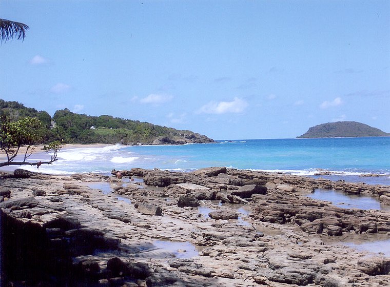
Photo: Wikimedia, CC BY-SA 3.0.
Sainte-Rose is a commune in the department of Guadeloupe. It is the second largest commune of Guadeloupe, in terms of area, after Petit-Bourg. Sainte-Rose lies on the coast of the island of Basse-Terre.
Pointe Nogent
Locality

Photo: Enrevseluj, CC BY-SA 4.0.
Pointe Nogent is a locality, which is situated 4½ km northwest of Port de Sainte-Rose.
Pointe Granger
Locality

Photo: Enrevseluj, CC BY-SA 4.0.
Pointe Granger is a locality, which is situated 6 km east of Port de Sainte-Rose.
Port de Sainte-Rose
- Type: Marina
- Categories: recreation area and transportation
- Location: Guadeloupe, Lesser Antilles, Caribbean, North America
- View on OpenStreetMap
Latitude
16.3353° or 16° 20′ 7″ northLongitude
-61.69633° or 61° 41′ 47″ westOpen location code
778W88P3+4FOpenStreetMap ID
node 1041861104OpenStreetMap feature
leisure=marina
This page is based on OpenStreetMap, Wikidata, and Wikimedia Commons.
We’d love your help improving our open data sources. Thank you for contributing.
Satellite Map
Discover Port de Sainte-Rose from above in high-definition satellite imagery.
Places with the Same Name
Discover other places named “Port de Sainte-Rose”.
Notable Places Nearby
Highlights include Blue lagoon excursions and FelixArt.
Nearby Places
Explore places such as Blue Lagoon Excursion and L’otantik grill.
Guadeloupe: Must-Visit Destinations
Delve into Pointe-à-Pitre, Sainte-Anne, Basse-Terre, and Grande-Terre.
Curious Marinas to Discover
Uncover intriguing marinas from every corner of the globe.
About Mapcarta. Data © OpenStreetMap contributors and available under the Open Database License". Text is available under the CC BY-SA 4.0 license, except for photos, directions, and the map. Photo: Patrice78500, CC BY-SA 3.0.