Fürstkreuz
Fürstkreuz is a wayside shrine in Lower Austria, Austria. Fürstkreuz is situated nearby to Saint Michael Church, as well as near the peak Michelberg.| Tap on a place to explore it |
Places of Interest Nearby
Highlights include Saint Michael Church and Leeberg Niederhollabrunn.
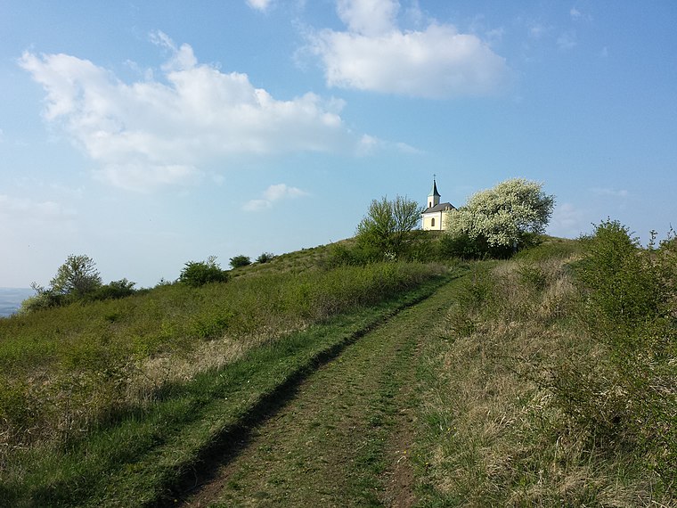
Saint Michael Church
Church

Photo: Bwag, CC BY-SA 3.0 at.
Saint Michael Church is situated 1 km south of Fürstkreuz.
Leeberg Niederhollabrunn
Scenic viewpoint

Photo: Stefan.lefnaer, CC BY-SA 3.0 at.
Leeberg Niederhollabrunn is a scenic viewpoint, which is situated 2 km northeast of Fürstkreuz.
Places in the Area
Nearby places include Geitzendorf and Großmugl.
Geitzendorf
Village

Photo: Bwag, CC BY-SA 4.0.
Geitzendorf is a village, which is situated 6 km northwest of Fürstkreuz.
Großmugl
Village

Photo: Bwag, CC BY-SA 4.0.
Großmugl is a village, which is situated 7 km northwest of Fürstkreuz.
Höbersdorf
Village

Photo: Bwag, CC BY-SA 4.0.
Höbersdorf is a village, which is situated 7 km west of Fürstkreuz.
Fürstkreuz
- Type: Wayside shrine
- Category: historic site
- Location: Lower Austria, Austria, Central Europe, Europe
- View on OpenStreetMap
Latitude
48.44485° or 48° 26′ 41″ northLongitude
16.2731° or 16° 16′ 23″ eastInception
1842Open location code
8FWRC7VF+W6OpenStreetMap ID
node 1047223388OpenStreetMap feature
historic=wayside_shrine
This page is based on OpenStreetMap, Wikidata, and Wikimedia Commons.
We’d love your help improving our open data sources. Thank you for contributing.
Satellite Map
Discover Fürstkreuz from above in high-definition satellite imagery.
Places with the Same Name
Discover other places named “Fürstkreuz”.
Notable Places Nearby
Highlights include Freiwillige Feuerwehr Haselbach and Friedhof Haselbach.
Nearby Places
Explore places such as Haselbach bei Stockerau Ortsmitte and Haselbach bei Stockerau Ortsmitte.
Lower Austria: Must-Visit Destinations
Delve into St. Pölten, Wiener Neustadt, Amstetten, and Klosterneuburg.
Curious Wayside Shrines to Discover
Uncover intriguing wayside shrines from every corner of the globe.
About Mapcarta. Data © OpenStreetMap contributors and available under the Open Database License". Text is available under the CC BY-SA 4.0 license, except for photos, directions, and the map. Photo: Lonezor, CC BY-SA 3.0.