Schwedenhöhle G
Schwedenhöhle G is a cave in Harmannsdorf, Korneuburg District, Lower Austria. Schwedenhöhle G is situated nearby to the cave Schwedenhöhle H, as well as near Schwedenhöhle E.| Tap on a place to explore it |
Places of Interest Nearby
Highlights include Wielandsdorf and Schöne Säule.
Wielandsdorf
Archaeological site

Photo: Wikimedia, CC BY-SA 3.0 de.
Wielandsdorf is an archaeological site, which is situated 500 metres northwest of Schwedenhöhle G.
Schöne Säule
Wayside shrine

Photo: Naoag, CC BY-SA 3.0.
Schöne Säule is a wayside shrine, which is situated 2 km southwest of Schwedenhöhle G.
Michelberg
Peak
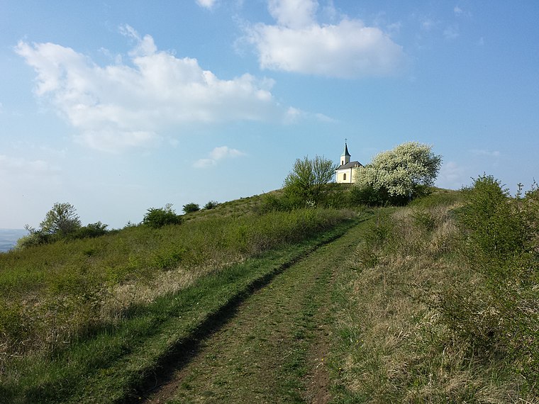
Photo: Stefan.lefnaer, CC BY-SA 3.0.
Michelberg is a peak, which is situated 3½ km west of Schwedenhöhle G.
Places in the Area
Nearby places include Enzersfeld im Weinviertel.
Enzersfeld im Weinviertel
Village

Photo: Bwag, CC BY-SA 4.0.
Enzersfeld im Weinviertel is a town in the district of Korneuburg in the state of Lower Austria in Austria. Enzersfeld im Weinviertel is situated 10 km southeast of Schwedenhöhle G.
Schwedenhöhle G
- Type: Cave
- Category: landform
- Location: Harmannsdorf, Korneuburg District, Lower Austria, Austria, Central Europe, Europe
- View on OpenStreetMap
Latitude
48.42587° or 48° 25′ 33″ northLongitude
16.3391° or 16° 20′ 21″ eastOpen location code
8FWRC8GQ+8JOpenStreetMap ID
node 1049851453OpenStreetMap feature
natural=cave_entrance
This page is based on OpenStreetMap, Wikidata, and Wikimedia Commons.
We’d love your help improving our open data sources. Thank you for contributing.
Satellite Map
Discover Schwedenhöhle G from above in high-definition satellite imagery.
Notable Places Nearby
Highlights include Schwedenhöhle G and Schwedenhöhle H.
Nearby Places
Explore places such as Probst-Friedrich-Hütte and St. Hubertus Marterl.
Lower Austria: Must-Visit Destinations
Delve into St. Pölten, Wiener Neustadt, Amstetten, and Klosterneuburg.
Curious Caves to Discover
Uncover intriguing caves from every corner of the globe.
About Mapcarta. Data © OpenStreetMap contributors and available under the Open Database License". Text is available under the CC BY-SA 4.0 license, except for photos, directions, and the map. Photo: Lonezor, CC BY-SA 3.0.