Social Security Administration
Social Security Administration is a government office in Ventura County, Central Coast, California which is located on Outlet Center Drive. Social Security Administration is situated nearby to the government office USCIS Application Support Center, as well as near the church Capilla Evangelica.| Tap on a place to explore it |
Places of Interest Nearby
Highlights include Saint Johns Regional Medical Center and Oxnard Transit Center.
Saint Johns Regional Medical Center
Hospital
 St. John's Regional Medical Center is a hospital located in Oxnard, California in the United States, and is operated by Dignity Health, along with its sister hospital, St. John's Hospital Camarillo in Camarillo. Saint Johns Regional Medical Center is situated 3,400 feet southwest of Social Security Administration.
Oxnard Transit Center
Railway station

Photo: Fettlemap, CC BY-SA 3.0.
The Oxnard Transit Center is an intermodal transit center in downtown Oxnard, California. It is served by Amtrak Coast Starlight and Pacific Surfliner intercity service plus Metrolink Ventura County Line commuter service. Oxnard Transit Center is situated 2 miles southwest of Social Security Administration.
Pacifica High School
School
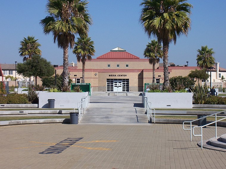
Photo: Parabolas 123, Public domain.
Pacifica High School is a public high school in Oxnard, California. The school is part of the Oxnard Union High School District and serves students in northeast and downtown Oxnard. Pacifica High School is situated 1½ miles west of Social Security Administration.
Places in the Area
Nearby places include Oxnard and Saticoy.
Oxnard

Photo: Los Angeles, CC BY-SA 3.0.
Oxnard is a major transportation hub in Ventura County. With a population of over 200,000 in 2020, Oxnard is Ventura's largest city.
Saticoy
Hamlet

Photo: Trackinfo, CC BY-SA 3.0.
Saticoy is an unincorporated community in Ventura County, California, United States. The site of one of the largest settlements of the Chumash region, a settlement was laid out in 1887 along the railroad line that was being built from Los Angeles through the Santa Clara River Valley to the town of San Buenaventura. Saticoy is situated 4½ miles north of Social Security Administration.
Port Hueneme
 Port Hueneme is a small beach city in Ventura County, California, surrounded by the city of Oxnard and the Santa Barbara Channel. Both the Port of Hueneme and Naval Base Ventura County lie within the city limits.
Social Security Administration
- Type: Government office
- Address: 2000 Outlet Center Drive, 93036
- Categories: office and government building
- Location: Ventura County, Central Coast, California, United States, North America
- View on OpenStreetMap
Latitude
34.22104° or 34° 13′ 16″ northLongitude
-119.1468° or 119° 8′ 49″ westOpen location code
85626VC3+C7OpenStreetMap ID
node 10565932209OpenStreetMap feature
office=government
This page is based on OpenStreetMap, Wikidata, and Wikimedia Commons.
We’d love your help improving our open data sources. Thank you for contributing.
Satellite Map
Discover Social Security Administration from above in high-definition satellite imagery.
Places with the Same Name
Discover other places named “Social Security Administration”.
Notable Places Nearby
Highlights include USCIS Application Support Center and Capilla Evangelica.
Nearby Places
Explore places such as Cafe Amri and Hilton Garden Inn Oxnard Camarillo.
Ventura County: Must-Visit Destinations
Delve into Oxnard, Ventura, Thousand Oaks, and Simi Valley.
Curious Government Offices to Discover
Uncover intriguing government offices from every corner of the globe.
About Mapcarta. Data © OpenStreetMap contributors and available under the Open Database License". Text is available under the CC BY-SA 4.0 license, except for photos, directions, and the map. Photo: Wikimedia, CC BY-SA 2.0.