Croix des pèlerins
Croix des pèlerins is a scenic viewpoint in Houdan, Arrondissement of Mantes-la-Jolie, Île-de-France. Croix des pèlerins is situated nearby to Donjon de Houdan, as well as near Passage de la Baldo.| Tap on a place to explore it |
Places of Interest Nearby
Highlights include Donjon de Houdan and Saint-Jacques et Saint-Christophe church.
Donjon de Houdan

Photo: Henrysalome, CC BY 2.5.
The Donjon de Houdan is a medieval fortified tower in the commune of Houdan in the Yvelines département of France. Donjon de Houdan is situated 530 metres north of Croix des pèlerins.
Saint-Jacques et Saint-Christophe church
Church

Photo: Henrysalome, CC BY 2.5.
Saint-Jacques et Saint-Christophe church is situated 590 metres northeast of Croix des pèlerins.
Gare de Houdan
Railway station
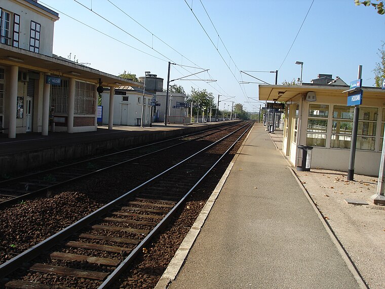
Photo: Parisdreux, CC BY-SA 3.0.
Gare de Houdan is a railway station, which is situated 1¼ km north of Croix des pèlerins.
Places in the Area
Nearby places include Houdan and Berchères-sur-Vesgre.
Houdan
Village

Photo: Coyau, CC BY-SA 3.0.
Houdan is a commune of the Yvelines department 63 kilometres west of Paris in the north of France.
Berchères-sur-Vesgre
Village

Photo: Rivolion, CC BY-SA 3.0.
Berchères-sur-Vesgre is a commune in the Eure-et-Loir department in northern France. Berchères-sur-Vesgre is situated 8 km northwest of Croix des pèlerins.
Bû
Village

Photo: GFreihalter, CC BY-SA 3.0.
Bû is a commune in the Eure-et-Loir department in northern France. Bû is situated 8 km west of Croix des pèlerins.
Croix des pèlerins
- Type: Scenic viewpoint
- Category: tourism
- Location: Houdan, Arrondissement of Mantes-la-Jolie, Yvelines, Île-de-France, France, Europe
- View on OpenStreetMap
Latitude
48.78455° or 48° 47′ 4″ northLongitude
1.59825° or 1° 35′ 54″ eastOpen location code
8FW3QHMX+R7OpenStreetMap ID
node 10584056706OpenStreetMap feature
tourism=viewpoint
This page is based on OpenStreetMap, Wikidata, and Wikimedia Commons.
We’d love your help improving our open data sources. Thank you for contributing.
Satellite Map
Discover Croix des pèlerins from above in high-definition satellite imagery.
Places with the Same Name
Discover other places named “Croix des pèlerins”.
Notable Places Nearby
Highlights include Passage de la Baldo and Office de tourisme du pays houdanais.
Nearby Places
Explore places such as La Côte Rôtie and Donjon.
Île-de-France: Must-Visit Destinations
Delve into Paris, Versailles, Boulogne-Billancourt, and Paris Charles de Gaulle Airport.
Curious Scenic Viewpoints to Discover
Uncover intriguing scenic viewpoints from every corner of the globe.
About Mapcarta. Data © OpenStreetMap contributors and available under the Open Database License". Text is available under the CC BY-SA 4.0 license, except for photos, directions, and the map. Photo: Inkey, CC BY-SA 3.0.