Puig de Bunyolí
Puig de Bunyolí is a peak in Esporles, Balearic Islands and has an elevation of 451 metres. Puig de Bunyolí is situated nearby to the locality Coma de Can Manent, as well as near Son Serra.| Tap on a place to explore it |
Places of Interest
Highlights include Fita del Ram and La Casa del Gegant de Son Puig.

La Casa del Gegant de Son Puig
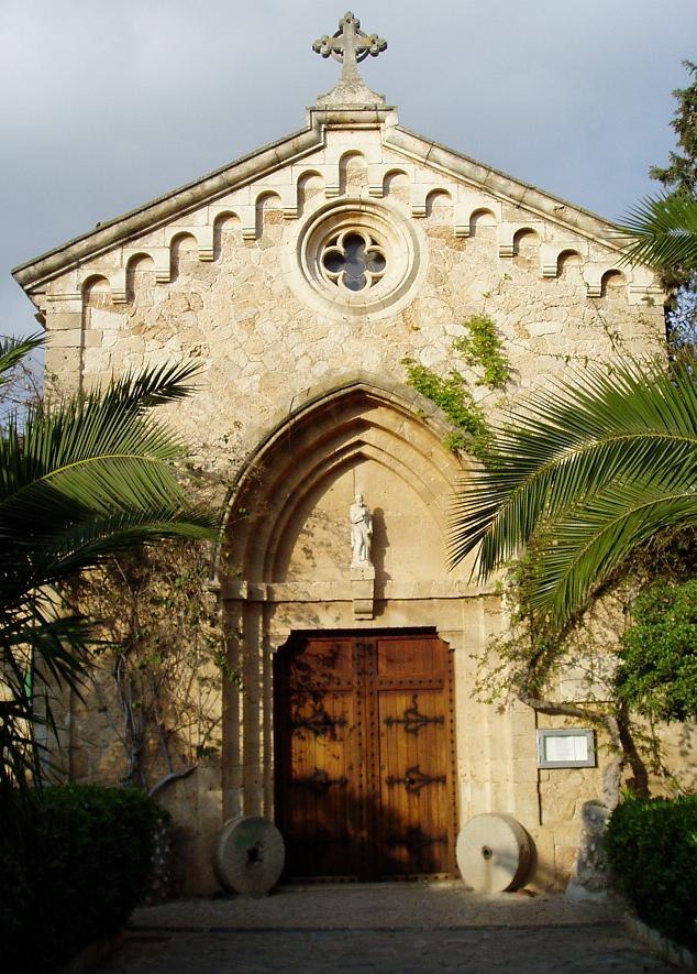
Archaeological site

Photo: Joan Gené, CC BY-SA 4.0.
La Casa del Gegant de Son Puig is an archaeological site.

Places in the Area
Nearby places include Puigpunyent and Son Roca.
Puigpunyent
Village

Photo: Chixoy, CC BY-SA 3.0.
Puigpunyent is a municipality in western Majorca, one of the Balearic Islands, in Spain. It is located amidst the Tramuntana Mountains. It is a short distance away from Palma, the island's capital, and offers a serene retreat from urban life.

Puig de Bunyolí
- Type: Peak with an elevation of 451 metres
- Category: landform
- Location: Esporles, Balearic Islands, Spain, Iberia, Europe
- View on OpenStreetMap
Latitude
39.6309° or 39° 37′ 51″ northLongitude
2.5713° or 2° 34′ 17″ eastElevation
451 metres (1,480 feet)Open location code
8FF4JHJC+9GOpenStreetMap ID
node 1059914787OpenStreetMap feature
natural=peak
This page is based on OpenStreetMap, Wikidata, and Wikimedia Commons.
We’d love your help improving our open data sources. Thank you for contributing.
Satellite Map
Discover Puig de Bunyolí from above in high-definition satellite imagery.
In Other Languages
“Puig de Bunyolí” goes by many names.
- Catalan: “Puig de Bunyolí”
Localities in the Area
Explore places such as Coma de Can Manent and Son Serra.
Notable Places Nearby
Highlights include Penyal des Corbs and Puig des Resol.
Balearic Islands: Must-Visit Destinations
Delve into Palma de Mallorca, Formentera, Ibiza, and Maó.
Curious Peaks to Discover
Uncover intriguing peaks from every corner of the globe.
About Mapcarta. Data © OpenStreetMap contributors and available under the Open Database License". Text is available under the CC BY-SA 4.0 license, except for photos, directions, and the map. Photo: anieto2k, CC BY-SA 2.0.