Extremadura Insurgentes
Extremadura Insurgentes is a neighborhood in Benito Juárez Borough, Mexico City. Extremadura Insurgentes is situated nearby to the quarter San Juan Malinaltongo, as well as near San Lorenzo Xochimanca.| Tap on a place to explore it |
Places of Interest
Highlights include Parque Hundido and Estadio Ciudad de los Deportes.
Parque Hundido
Park
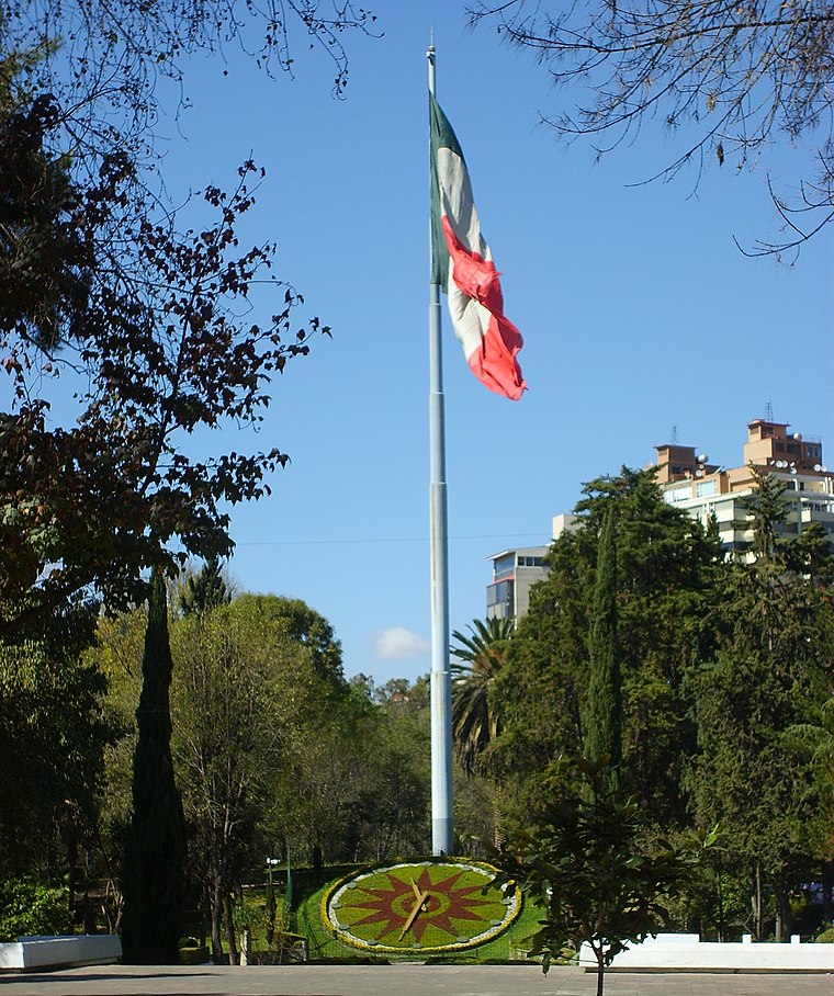
Photo: Wikimedia, CC BY-SA 3.0.
Parque Hundido is an urban park located in Benito Juárez, Mexico City.
Estadio Ciudad de los Deportes
Stadium

Photo: ProtoplasmaKid, CC BY-SA 4.0.
Estadio Ciudad de los Deportes is a 34,253-seat multi-purpose stadium located in Ciudad de los Deportes, Mexico City. The facility is used for association football matches and for American football as well.
Plaza de Toros México
Stadium

Photo: AlejandroLinaresGarcia, CC BY-SA 4.0.
The Plaza de toros México, situated in Mexico City, is the world's largest bullring. The 41,262-seat facility is usually dedicated to bullfighting, but many boxing matches have been held there as well, including Julio César Chávez's third and final bout with Frankie Randall on May 22, 2004.
Places in the Area
Nearby places include San Lorenzo Xochimanca and Mixcoac.
San Lorenzo Xochimanca
Quarter

Photo: StellarD, CC BY-SA 4.0.
San Lorenzo Xochimanca was a pre-Hispanic village and hacienda located in what is now the Colonia del Valle area of Mexico City.
Mixcoac
Quarter

Photo: Henryficar, CC BY-SA 3.0.
Mixcoac is an area of southern Mexico City which used to be a separate town and municipality within the Mexican Federal District until it was made part of Mexico City proper in 1928.
Xoco
Quarter
Xoco is a neighborhood of Mexico City in Benito Juárez borough. Xoco was originally a village dating to before the Spanish conquest. Now it is an important commercial hot spot that lies just across the northern edge of Coyoacán.
Extremadura Insurgentes
- Type: Neighborhood
- Category: locality
- Location: Benito Juárez Borough, Mexico City, Central Mexico, Mexico, North America
- View on OpenStreetMap
Latitude
19.37701° or 19° 22′ 37″ northLongitude
-99.17999° or 99° 10′ 48″ westOpen location code
76F29RGC+R2OpenStreetMap ID
node 10628343950OpenStreetMap feature
place=neighbourhood
This page is based on OpenStreetMap, Wikidata, and Wikimedia Commons.
We’d love your help improving our open data sources. Thank you for contributing.
Satellite Map
Discover Extremadura Insurgentes from above in high-definition satellite imagery.
Localities in the Area
Explore places such as Col. Extremadura Insurgentes and San Juan Malinaltongo.
Notable Places Nearby
Highlights include Audiovideorama Manuel M. Ponce and San Juan Evangelista y Nuestra Señora de Guadalupe.
Mexico City: Must-Visit Destinations
Delve into Centro, Xochimilco, Condesa and Roma, and Coyoacán.
Curious Neighborhoods to Discover
Uncover intriguing neighborhoods from every corner of the globe.
About Mapcarta. Data © OpenStreetMap contributors and available under the Open Database License". Text is available under the CC BY-SA 4.0 license, except for photos, directions, and the map. Photo: Wikimedia, CC BY 2.0.