Der Weilburgweg Station 2
Der Weilburgweg Station 2 is in Baden, Lower Austria. Der Weilburgweg Station 2 is situated nearby to the scenic viewpoint Ziehrerhöhe, as well as near the cave Alexandrowitschkammer.| Tap on a place to explore it |
Places of Interest Nearby
Highlights include Schönfeldvilla and Burgruine Rauhenstein.

Burgruine Rauhenstein

Photo: Bwag, CC BY-SA 4.0.
Burgruine Rauhenstein is a ruinous medieval castle in Baden bei Wien, Lower Austria, Austria, built in the 12th century. Its tower stands 20 metres high. Burgruine Rauhenstein is situated 720 metres northwest of Der Weilburgweg Station 2.
Rauheneck Castle
Castle

Photo: Bwag, CC BY-SA 4.0.
Rauheneck Castle is a ruined castle in Lower Austria, Austria. It is 348 metres above sea level. Rauheneck Castle is situated 600 metres southwest of Der Weilburgweg Station 2.
Places in the Area
Nearby places include Sooß and Pfaffstätten.
Sooß
Village
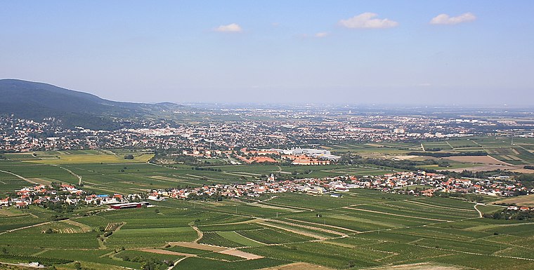
Photo: Bwag, CC BY-SA 3.0.
Sooß is a town in the district of Baden in Lower Austria, Austria. Sooß is situated 2½ km south of Der Weilburgweg Station 2.
Pfaffstätten
Village

Photo: Wikimedia, CC BY-SA 3.0.
Pfaffstätten is a town in the district of Baden in Lower Austria in Austria. Pfaffstätten is situated 4 km east of Der Weilburgweg Station 2.
Siegenfeld
Village

Photo: Reblaus2004, CC BY-SA 3.0.
Siegenfeld is a village, which is situated 4½ km northwest of Der Weilburgweg Station 2.
Der Weilburgweg Station 2
- Type: Sign
- Categories: information and tourism
- Location: Baden, Politischer Bezirk Baden, Lower Austria, Austria, Central Europe, Europe
- View on OpenStreetMap
Latitude
48.00841° or 48° 0′ 30″ northLongitude
16.21234° or 16° 12′ 44″ eastOpen location code
8FWR2656+9WOpenStreetMap ID
node 10632541295OpenStreetMap feature
tourism=information
This page is based on OpenStreetMap, Wikidata, and Wikimedia Commons.
We’d love your help improving our open data sources. Thank you for contributing.
Satellite Map
Discover Der Weilburgweg Station 2 from above in high-definition satellite imagery.
Notable Places Nearby
Highlights include Ziehrerhöhe and Alexandrowitschkammer.
Nearby Places
Explore places such as Der Weilburgweg and Holzrechenplatz.
Lower Austria: Must-Visit Destinations
Delve into St. Pölten, Wiener Neustadt, Amstetten, and Klosterneuburg.
Curious Places to Discover
Uncover intriguing places from every corner of the globe.
About Mapcarta. Data © OpenStreetMap contributors and available under the Open Database License". Text is available under the CC BY-SA 4.0 license, except for photos, directions, and the map. Photo: Felix Koenig, CC BY 3.0.