Bauernhof Stechele
Bauernhof Stechele is a guest house in Hopferau, Ostallgäu, Bavaria. Bauernhof Stechele is situated nearby to the wayside shrine Hopferwald plague cemetery, as well as near the dwelling Rohrweiher.| Tap on a place to explore it |
Places of Interest Nearby
Highlights include Hopferwald plague cemetery and Rohrweiher.
Hopferwald plague cemetery
Wayside shrine

Photo: Wikimedia, CC BY-SA 3.0.
Hopferwald plague cemetery is a wayside shrine.
Rohrweiher
Dwelling

Photo: Wikimedia, CC BY-SA 2.0.
Rohrweiher is a dwelling, which is situated 300 metres southeast of Bauernhof Stechele.
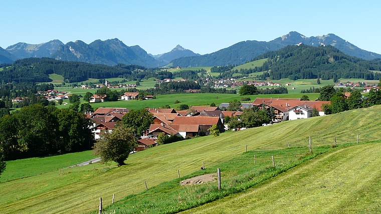
Burg Hopfen

Photo: Dark Avenger, Public domain.
Burg Hopfen is situated 1¼ km southeast of Bauernhof Stechele.
Places in the Area
Nearby places include Hopfen am See and Schraden.


Bauernhof Stechele
- Type: Guest house
- Categories: tourism, accommodation, and building
- Location: Hopferau, Ostallgäu, Bavarian Swabia, Bavaria, Germany, Central Europe, Europe
- View on OpenStreetMap
Latitude
47.62042° or 47° 37′ 14″ northLongitude
10.66532° or 10° 39′ 55″ eastOpen location code
8FVGJMC8+54OpenStreetMap ID
node 10681495462OpenStreetMap feature
tourism=guest_house
This page is based on OpenStreetMap, Wikidata, and Wikimedia Commons.
We’d love your help improving our open data sources. Thank you for contributing.
Satellite Map
Discover Bauernhof Stechele from above in high-definition satellite imagery.
Notable Places Nearby
Highlights include Pertlesbichel and Aussichtsplatz.
Nearby Places
Explore places such as Ferienhof Kuhn and Emmentaler Radweg - Die Kuh.
Bavarian Swabia: Must-Visit Destinations
Delve into Augsburg, Memmingen, Kempten, and Füssen.
Curious Guest Houses to Discover
Uncover intriguing guest houses from every corner of the globe.
About Mapcarta. Data © OpenStreetMap contributors and available under the Open Database License". Text is available under the CC BY-SA 4.0 license, except for photos, directions, and the map. Photo: Tilman2007, CC BY-SA 3.0.