Emmentaler Radweg - Die Kuh
Emmentaler Radweg - Die Kuh is in Hopferau, Ostallgäu, Bavaria. Emmentaler Radweg - Die Kuh is situated nearby to the wayside shrine Hopferwald plague cemetery, as well as near the scenic viewpoint Drei-Schlösser-Blick.| Tap on a place to explore it |
Places of Interest Nearby
Highlights include Senkelekopf and Hopferwald plague cemetery.

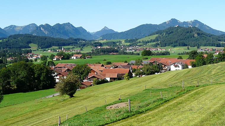
Hopferwald plague cemetery
Wayside shrine

Photo: Wikimedia, CC BY-SA 3.0.
Hopferwald plague cemetery is a wayside shrine, which is situated 780 metres south of Emmentaler Radweg - Die Kuh.
Burg Hopfen

Photo: Dark Avenger, Public domain.
Burg Hopfen is situated 2 km south of Emmentaler Radweg - Die Kuh.
Places in the Area
Nearby places include Heimen and Hopfen am See.


Emmentaler Radweg - Die Kuh
- Type: Sign
- Categories: information and tourism
- Location: Hopferau, Ostallgäu, Bavarian Swabia, Bavaria, Germany, Central Europe, Europe
- View on OpenStreetMap
Latitude
47.62714° or 47° 37′ 38″ northLongitude
10.66388° or 10° 39′ 50″ eastOpen location code
8FVGJMG7+VHOpenStreetMap ID
node 11154335953OpenStreetMap feature
tourism=information
This page is based on OpenStreetMap, Wikidata, and Wikimedia Commons.
We’d love your help improving our open data sources. Thank you for contributing.
Satellite Map
Discover Emmentaler Radweg - Die Kuh from above in high-definition satellite imagery.
Notable Places Nearby
Highlights include Drei-Schlösser-Blick and Rohrweiher.
Nearby Places
Explore places such as Wanderregion Ostallgäu and Wanderparkplatz Wildstand.
Bavarian Swabia: Must-Visit Destinations
Delve into Augsburg, Memmingen, Kempten, and Füssen.
Curious Places to Discover
Uncover intriguing places from every corner of the globe.
About Mapcarta. Data © OpenStreetMap contributors and available under the Open Database License". Text is available under the CC BY-SA 4.0 license, except for photos, directions, and the map. Photo: Tilman2007, CC BY-SA 3.0.