Glendale Transportation Center
Glendale Transportation Center is a bus station in Los Angeles, Southern California, California. Glendale Transportation Center is situated nearby to the restaurant Tam O’Shanter Inn, as well as near Glendale Memorial Hospital and Health Center.| Tap on a place to explore it |
Places of Interest Nearby
Highlights include Glendale Transportation Center and Tam O’Shanter Inn.
Glendale Transportation Center
Railway station

Photo: Vahe Martirosyan, CC BY-SA 4.0.
The Glendale Transportation Center is an Amtrak and Metrolink train station in the city of Glendale, California. It is served by the Amtrak Pacific Surfliner inter-city rail route and the Metrolink Ventura County Line and Antelope Valley Line commuter rail routes. Glendale Transportation Center is situated 540 feet southeast of Glendale Transportation Center.
Tam O’Shanter Inn
Restaurant
 The Tam O'Shanter Inn is one of Los Angeles' oldest restaurants. Established in 1922, it serves hearty pub fare with a touch of Scottish flair, and is known for its prime rib and Yorkshire pudding. Tam O’Shanter Inn is situated 1,300 feet west of Glendale Transportation Center.
Forest Lawn Memorial Park
Cemetery

Photo: Meribona, CC BY-SA 3.0.
Forest Lawn Memorial Park is a privately owned cemetery in Glendale, California, United States. It is the original and current flagship location of Forest Lawn Memorial-Parks & Mortuaries, a chain of six cemeteries and four additional mortuaries in Southern California. Forest Lawn Memorial Park is situated 1 mile east of Glendale Transportation Center.
Places in the Area
Nearby places include Atwater Village and Adams Hill, Glendale, California.
Atwater Village
Quarter
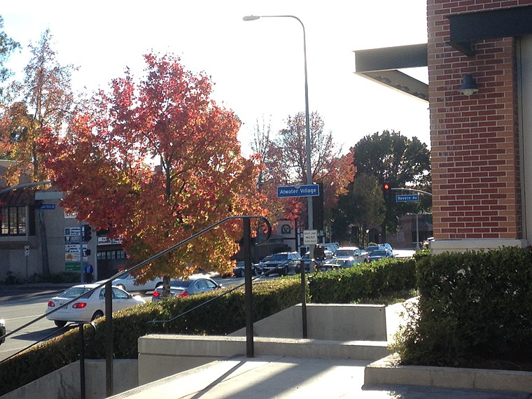
Photo: KennethHan, CC BY-SA 3.0.
Atwater Village is a neighborhood in the 13th district of Los Angeles, California. Much of Atwater Village lies in the fertile Los Angeles River flood plain.
Adams Hill, Glendale, California
Neighborhood
Adams Hill is a neighborhood in Glendale, California. The neighborhood is known as a bohemian one where "a queer community flourishes". The neighborhood's business district, Adams Square, is at the base of the Glendale side of the hill.
Glendale

Photo: Marine 69-71, CC BY-SA 3.0.
Glendale is a suburban city of 205,000 people in the southeastern corner of the San Fernando Valley of Southern California between Burbank and Downtown Los Angeles. Glendale has one of the largest communities of Armenian descent in the United States.
Glendale Transportation Center
- Type: Bus station
- Wheelchair access: yes
- Categories: station and transportation
- Location: Los Angeles, Southern California, California, United States, North America
- View on OpenStreetMap
Latitude
34.12488° or 34° 7′ 30″ northLongitude
-118.26005° or 118° 15′ 36″ westOpen location code
85634PFQ+XXOpenStreetMap ID
node 10687121788OpenStreetMap feature
amenity=bus_stationOpenStreetMap feature
public_transport=stationOpenStreetMap attribute
wheelchair=yes
This page is based on OpenStreetMap, Wikidata, and Wikimedia Commons.
We’d love your help improving our open data sources. Thank you for contributing.
Satellite Map
Discover Glendale Transportation Center from above in high-definition satellite imagery.
Places with the Same Name
Discover other places named “Glendale Transportation Center”.
Notable Places Nearby
Highlights include Glendale Transportation Center and Glendale Memorial Hospital and Health Center.
Nearby Places
Explore places such as Glendale and Glendale Transportation Center.
Los Angeles: Must-Visit Destinations
Delve into Hollywood, San Gabriel Valley, San Fernando Valley, and Long Beach.
Curious Bus Stations to Discover
Uncover intriguing bus stations from every corner of the globe.
About Mapcarta. Data © OpenStreetMap contributors and available under the Open Database License". Text is available under the CC BY-SA 4.0 license, except for photos, directions, and the map. Photo: Mfield, CC BY-SA 3.0.