La senda del agua nº7
La senda del agua nº7 is a work of art in Ciudad Lineal, Madrid, Community of Madrid. La senda del agua nº7 is situated nearby to the swimming pool Balsoria, as well as near the government building Jefatura Provincial Tráfico.| Tap on a place to explore it |
Places of Interest Nearby
Highlights include Embassy of China and Arturo Soria.
Embassy of China
Government office
 Embassy of China is a government office, which is situated 330 metres southwest of La senda del agua nº7.
Arturo Soria
Metro station

Photo: Draceane, CC BY-SA 4.0.
Arturo Soria is a station on Line 4 of the Madrid Metro. It is located on the calle Arturo Soria, named for the urban planner Arturo Soria y Mata. It is located in fare Zone A. Arturo Soria is situated 460 metres northwest of La senda del agua nº7.
Embassy of the United Arab Emirates
Government office

Photo: Asqueladd, CC BY-SA 3.0.
Embassy of the United Arab Emirates is a government office, which is situated 730 metres south of La senda del agua nº7.
Places in the Area
Nearby places include San Juan Bautista and Ciudad Lineal.
San Juan Bautista
Quarter

Photo: Asqueladd, CC BY-SA 3.0.
San Juan Bautista is a ward of Madrid belonging to the district of Ciudad Lineal.
Ciudad Lineal
Suburb

Photo: juanjaen, CC BY-SA 2.0.
Ciudad Lineal is one of 21 districts of Madrid, Spain.
Colina
Quarter
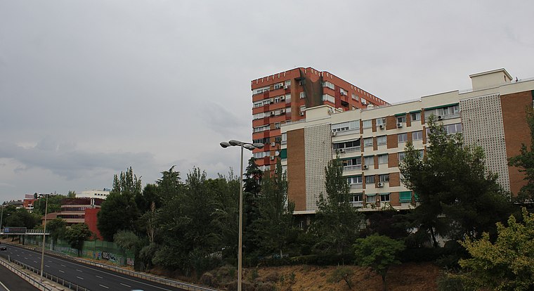
Photo: Asqueladd, CC BY-SA 3.0.
Colina is a ward of Madrid belonging to the district of Ciudad Lineal.
La senda del agua nº7
- Type: Work of art
- Artwork type: installation
- Category: tourism
- Location: Ciudad Lineal, Madrid, Madrid, Community of Madrid, Central Spain, Spain, Iberia, Europe
- View on OpenStreetMap
Latitude
40.45396° or 40° 27′ 14″ northLongitude
-3.65137° or 3° 39′ 5″ westOpen location code
8CGRF83X+HFOpenStreetMap ID
node 10735681439OpenStreetMap feature
tourism=artworkOpenStreetMap attribute
artwork_type=installation
This page is based on OpenStreetMap, Wikidata, and Wikimedia Commons.
We’d love your help improving our open data sources. Thank you for contributing.
Satellite Map
Discover La senda del agua nº7 from above in high-definition satellite imagery.
Notable Places Nearby
Highlights include Balsoria and Jefatura Provincial Tráfico.
Nearby Places
Explore places such as Caser Residencial Arturo Soria and Hastings School.
Madrid: Must-Visit Destinations
Delve into Sol-Letras-Lavapiés, Salamanca, Retiro-Paseo del Arte, and Chamberí-Castellana.
Curious Work Of Arts to Discover
Uncover intriguing work of arts from every corner of the globe.
About Mapcarta. Data © OpenStreetMap contributors and available under the Open Database License". Text is available under the CC BY-SA 4.0 license, except for photos, directions, and the map. Photo: DonPaolo, CC BY-SA 3.0.