Église Protestante Évangélique de Romainville
Église Protestante Évangélique de Romainville is a church in Romainville, Arrondissement of Bobigny, Île-de-France which is located on Boulevard Émile Genevoix. Église Protestante Évangélique de Romainville is situated nearby to the marketplace Marché du Centre, as well as near Place du 19 Mars 1962.| Tap on a place to explore it |
Places of Interest Nearby
Highlights include Trianon and Romainville–Carnot station.
Trianon
Movie theater

Photo: Chabe01, CC BY-SA 4.0.
Trianon is a movie theater, which is situated 510 metres northeast of Église Protestante Évangélique de Romainville.
Romainville–Carnot station
Metro station

Photo: Chabe01, CC BY-SA 4.0.
Romainville–Carnot station is a station on Line 11 of the Paris Métro. The station is straddled between the communes of Romainville and Noisy-le-Sec. Romainville–Carnot station is situated 430 metres east of Église Protestante Évangélique de Romainville.
Église Saint-Germain-l’Auxerrois de Romainville
Church

Photo: Chabe01, CC BY-SA 4.0.
Église Saint-Germain-l’Auxerrois de Romainville is a church, which is situated 430 metres north of Église Protestante Évangélique de Romainville.
Places in the Area
Nearby places include Romainville and Les Lilas.
Romainville
Town
Photo: Chabe01, CC BY-SA 4.0.
Romainville is a commune in the Seine-Saint-Denis department, located in the eastern suburbs of Paris, France.
Les Lilas
Town

Photo: Chabe01, CC BY-SA 4.0.
Les Lilas is a commune in the northeastern inner suburbs of Paris, France. It is in Seine-Saint-Denis, 5.7 km from the centre of Paris.
Noisy-le-Sec
Town
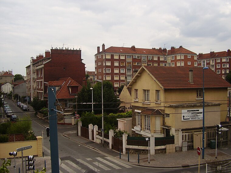
Photo: Sticreu, CC BY-SA 3.0.
Noisy-le-Sec is a commune in the eastern suburbs of Paris, France. It is located 8.6 km from the center of Paris.
Église Protestante Évangélique de Romainville
- Type: Church
- Address: 34 Boulevard Émile Genevoix
- Categories: place of worship and religion
- Location: Romainville, Arrondissement of Bobigny, Seine-Saint-Denis, Île-de-France, France, Europe
- View on OpenStreetMap
Latitude
48.88189° or 48° 52′ 55″ northLongitude
2.43494° or 2° 26′ 6″ eastOpen location code
8FW4VCJM+QXOpenStreetMap ID
node 10740124661OpenStreetMap feature
amenity=place_of_worship
This page is based on OpenStreetMap, Wikidata, and Wikimedia Commons.
We’d love your help improving our open data sources. Thank you for contributing.
Satellite Map
Discover Église Protestante Évangélique de Romainville from above in high-definition satellite imagery.
Notable Places Nearby
Highlights include Marché du Centre and BAB Bon à boire.
Nearby Places
Explore places such as À la mémoire de bienfaiteurs de Romainville and Pharmacie du Marché.
Île-de-France: Must-Visit Destinations
Delve into Paris, Versailles, Boulogne-Billancourt, and Paris Charles de Gaulle Airport.
Curious Churches to Discover
Uncover intriguing churches from every corner of the globe.
About Mapcarta. Data © OpenStreetMap contributors and available under the Open Database License". Text is available under the CC BY-SA 4.0 license, except for photos, directions, and the map. Photo: Romain D C, CC BY-SA 3.0.