East London Printer
East London Printer is a shop in Newham, Greater London, England which is located on Romford Road. East London Printer is situated nearby to Little Ilford Baptist Church, as well as near the bridge Ilford Flyover.| Tap on a place to explore it |
Places of Interest Nearby
Highlights include Ilford railway station and Old Manor Park Library.
Ilford railway station
Railway station
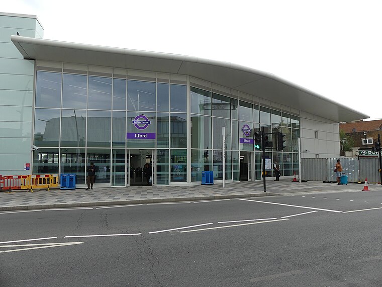
Photo: Sunil060902, CC BY-SA 4.0.
Ilford railway station is on the Great Eastern Main Line serving the town of Ilford in the London Borough of Redbridge, east London. It is 7 miles 29 chains down the line from London Liverpool Street and is situated between Manor Park and Seven Kings. Ilford railway station is situated 2,400 feet northeast of East London Printer.
Old Manor Park Library
Historic building

Photo: Nigel Cox, CC BY-SA 2.0.
Old Manor Park Library is a historic building, which is situated 1,700 feet southwest of East London Printer.
Woodgrange Park railway station
Railway station

Photo: Sunil060902, CC BY-SA 3.0.
Woodgrange Park is a railway station on Romford Road in Manor Park in the London Borough of Newham, east London. It is served by the Suffragette line of the London Overground. Woodgrange Park railway station is situated 4,200 feet southwest of East London Printer.
Places in the Area
Nearby places include Little Ilford and Ilford.
Little Ilford
Suburb

Photo: John Salmon, CC BY-SA 2.0.
Little Ilford is a district of London, England in the London Borough of Newham. It gives its name to the Little Ilford ward. Little Ilford is now also referred to as Manor Park.
Ilford
Town

Photo: Sunil060902, CC BY-SA 3.0.
Ilford is a large town in East London, England, 9 miles northeast of Charing Cross. Part of the London Borough of Redbridge, Ilford is within the ceremonial county of Greater London.
Manor Park
Suburb
Photo: Nigel Cox, CC BY-SA 2.0.
Manor Park is a residential area of the London Borough of Newham in east London, England. The area is bordered by Ilford to the east, Forest Gate to the west, Wanstead to the north, and East Ham to the south.
East London Printer
- Type: Shop
- Address: 993 Romford Road, London, E12 5JR
- Location: Newham, Greater London, England, United Kingdom, Britain and Ireland, Europe
- View on OpenStreetMap
Latitude
51.55517° or 51° 33′ 19″ northLongitude
0.06044° or 0° 3′ 38″ eastOpen location code
9F32H346+35OpenStreetMap ID
node 10782708031OpenStreetMap feature
shop=printing
This page is based on OpenStreetMap, Wikidata, and Wikimedia Commons.
We’d love your help improving our open data sources. Thank you for contributing.
Satellite Map
Discover East London Printer from above in high-definition satellite imagery.
Notable Places Nearby
Highlights include Little Ilford Baptist Church and Ilford Flyover.
Nearby Places
Explore places such as Zeta Homes and Bell Pharmacy.
England: Must-Visit Destinations
Delve into London, Manchester, Sheffield, and Leeds.
Curious Shops to Discover
Uncover intriguing shops from every corner of the globe.
About Mapcarta. Data © OpenStreetMap contributors and available under the Open Database License". Text is available under the CC BY-SA 4.0 license, except for photos, directions, and the map. Photo: sidibousaid, CC BY 2.0.