Santa Maria a Palo
Santa Maria a Palo is a neighborhood in Pagani, Salerno, Campania. Santa Maria a Palo is situated nearby to the quarter Villanova, as well as near the suburb Cicalesi.| Tap on a place to explore it |
Places of Interest
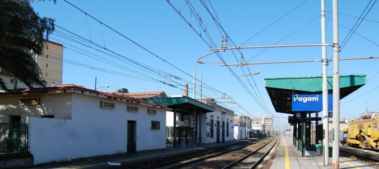
Highlights include Pagani railway station and Nocera Inferiore railway station.
Nocera Inferiore railway station
Railway station

Photo: Wikimedia, Public domain.
Nocera Inferiore railway station is situated 2½ km south of Santa Maria a Palo.
Nocera Inferiore Mercato railway halt
Railway station

Photo: Wikimedia, Public domain.
Nocera Inferiore Mercato railway halt is a railway station, which is situated 3 km southeast of Santa Maria a Palo.
Places in the Area
Nearby places include Cicalesi and Merichi.


Pagani
Town

Photo: Pagawiki, Public domain.
Pagani is a town and comune in Campania, Italy, administratively part of the Province of Salerno, in the region known as the Agro nocerino-sarnese. Pagani has a population of 35,834, as of 2016.
Santa Maria a Palo
- Type: Neighborhood
- Category: locality
- Location: Pagani, Salerno, Campania, Southern Italy, Italy, Europe
- View on OpenStreetMap
Latitude
40.76605° or 40° 45′ 58″ northLongitude
14.62513° or 14° 37′ 31″ eastOpen location code
8FGPQJ8G+C3OpenStreetMap ID
node 10790774849OpenStreetMap feature
place=neighbourhood
This page is based on OpenStreetMap, Wikidata, and Wikimedia Commons.
We’d love your help improving our open data sources. Thank you for contributing.
Satellite Map
Discover Santa Maria a Palo from above in high-definition satellite imagery.
Localities in the Area
Explore places such as Villanova and Chivoli.
Notable Places Nearby
Highlights include Cappella di Santa Maria a Palo and Lago San Mauro.
Salerno: Must-Visit Destinations
Delve into Salerno, Amalfi, Cava de’ Tirreni, and Positano.
Curious Neighborhoods to Discover
Uncover intriguing neighborhoods from every corner of the globe.
About Mapcarta. Data © OpenStreetMap contributors and available under the Open Database License". Text is available under the CC BY-SA 4.0 license, except for photos, directions, and the map. Photo: Wikimedia, CC0.