Dr. med. dent. Jürgen Puth
Dr. med. dent. Jürgen Puth is a dental clinic in Traiskirchen, Politischer Bezirk Baden, Lower Austria. Dr. med. dent. Jürgen Puth is situated nearby to the town hall Stadtamt Traiskirchen, as well as near Saint Nicholas Church.| Tap on a place to explore it |
Places of Interest Nearby
Highlights include Saint Nicholas Church and Franz-Kroller-Sternwarte.
Saint Nicholas Church
Church

Photo: Bwag, CC BY-SA 4.0.
Saint Nicholas Church is situated 140 metres northwest of Dr. med. dent. Jürgen Puth.
Franz-Kroller-Sternwarte

Photo: Wikimedia, CC BY-SA 3.0.
Franz-Kroller-Sternwarte is situated 240 metres west of Dr. med. dent. Jürgen Puth.
St. Margareta (Traiskirchen)
Church
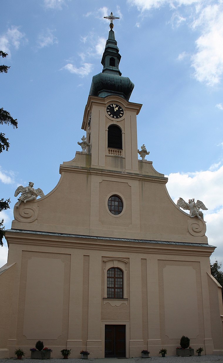
Photo: Bwag, CC BY-SA 3.0.
St. Margareta (Traiskirchen) is a church, which is situated 460 metres north of Dr. med. dent. Jürgen Puth.
Places in the Area
Nearby places include Tribuswinkel and Pfaffstätten.
Tribuswinkel
Village

Photo: Bwag, CC BY-SA 4.0.
Tribuswinkel is a town and cadastral community in the district of Baden in Lower Austria in northeast Austria. Since 1972, it is part of the Municipality of Traiskirchen.
Pfaffstätten
Village

Photo: Wikimedia, CC BY-SA 3.0.
Pfaffstätten is a town in the district of Baden in Lower Austria in Austria. Pfaffstätten is situated 2½ km west of Dr. med. dent. Jürgen Puth.
Gumpoldskirchen
Village

Photo: Bwag, CC BY-SA 4.0.
Gumpoldskirchen is a town in the district of Mödling in the Austrian state of Lower Austria. Gumpoldskirchen borders on the municipalities Mödling, Guntramsdorf, Gaaden, Pfaffstätten and Traiskirchen. Gumpoldskirchen is situated 4 km north of Dr. med. dent. Jürgen Puth.
Dr. med. dent. Jürgen Puth
- Opening hours:
Monday, Wednesday, and Thursday: 8:00 AM—noon and 1:00 PM—4:00 PM
Tuesday: 8:00 AM—noon and 1:00 PM—7:00 PM
Friday: 8:00 AM—noon and noon—2:00 PM
Saturday: 8:00 AM—1:00 PM - Type: Dental clinic
- Category: health care
- Location: Traiskirchen, Politischer Bezirk Baden, Lower Austria, Austria, Central Europe, Europe
- View on OpenStreetMap
Latitude
48.01356° or 48° 0′ 49″ northLongitude
16.29723° or 16° 17′ 50″ eastOpen location code
8FWR277W+CVOpenStreetMap ID
node 10834084880OpenStreetMap feature
amenity=dentistOpenStreetMap feature
healthcare=dentist
This page is based on OpenStreetMap, Wikidata, and Wikimedia Commons.
We’d love your help improving our open data sources. Thank you for contributing.
Satellite Map
Discover Dr. med. dent. Jürgen Puth from above in high-definition satellite imagery.
Notable Places Nearby
Highlights include Stadtamt Traiskirchen and Stadtsaal.
Nearby Places
Explore places such as Traiskirchen Stadtpark and Weingut Gausterer.
Lower Austria: Must-Visit Destinations
Delve into St. Pölten, Wiener Neustadt, Amstetten, and Klosterneuburg.
Curious Dental Clinics to Discover
Uncover intriguing dental clinics from every corner of the globe.
About Mapcarta. Data © OpenStreetMap contributors and available under the Open Database License". Text is available under the CC BY-SA 4.0 license, except for photos, directions, and the map. Photo: Lonezor, CC BY-SA 3.0.