Contrà Cerbaro
Contrà Cerbaro is a hamlet in Schio, Vicenza, Veneto. Contrà Cerbaro is situated nearby to the hamlet Contrà Rossi di Tretto, as well as near the locality Casara Vecchia.| Tap on a place to explore it |
Places of Interest
Highlights include Monte Novegno and Monte Priaforà.
Monte Novegno
Peak

Photo: Vajo, Public domain.
Monte Novegno is a mountain of the Veneto, Italy. It has an elevation of 1552 metres.
Monte Priaforà
Peak

Photo: Gio27, Public domain.
Monte Priaforà is a mountain of the Veneto, Italy. It has an elevation of 1,659 metres. It is part of the Little Dolomites with Cima Palon. Like the surrounding peaks, Mount Priaforà is made up of rocks from the Triassic and Jurassic periods. Monte Priaforà is situated 3½ km north of Contrà Cerbaro.
Forte Rione
Mountain hut

Photo: DeniseP, CC BY-SA 4.0.
Forte Rione is a mountain hut, which is situated 2½ km northwest of Contrà Cerbaro.
Places in the Area
Nearby places include Tretto and Enna Vicentina.
Enna Vicentina
Village

Photo: Syrio, CC BY-SA 4.0.
Enna Vicentina is a village, which is situated 3½ km southwest of Contrà Cerbaro.
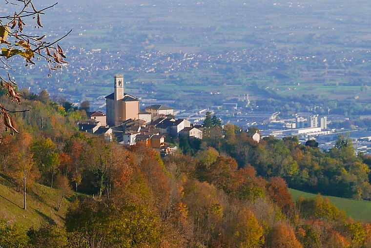
Schio
Town

Photo: Spadedrabbit, CC BY-SA 3.0.
Schio is a town and comune in the province of Vicenza situated north of Vicenza and east of the Lake Garda. It is surrounded by the Little Dolomites and Mount Pasubio. Schio is situated 5 km southeast of Contrà Cerbaro.
Contrà Cerbaro
- Type: Hamlet
- Category: locality
- Location: Schio, Vicenza, Veneto, Northeast Italy, Italy, Europe
- View on OpenStreetMap
Latitude
45.75321° or 45° 45′ 12″ northLongitude
11.32505° or 11° 19′ 30″ eastOpen location code
8FQHQ83G+72OpenStreetMap ID
node 10911979650OpenStreetMap feature
place=hamlet
This page is based on OpenStreetMap, Wikidata, and Wikimedia Commons.
We’d love your help improving our open data sources. Thank you for contributing.
Satellite Map
Discover Contrà Cerbaro from above in high-definition satellite imagery.
Localities in the Area
Explore places such as Contrà Rossi di Tretto and Contrà Rossi.
Notable Places Nearby
Highlights include Villaggio degli Esseri Favolosi and Festa delle Stagioni.
Curious Hamlets to Discover
Uncover intriguing hamlets from every corner of the globe.
About Mapcarta. Data © OpenStreetMap contributors and available under the Open Database License". Text is available under the CC BY-SA 4.0 license, except for photos, directions, and the map. Photo: Wikimedia, CC0.