Belaustegi Gana (Aretzak)
Belaustegi Gana (Aretzak) is a peak in Galdakao, Biscay, Basque Country and has an elevation of 137 metres. Belaustegi Gana (Aretzak) is situated nearby to the hamlet Errekalde, as well as near the neighborhood Urreta.| Tap on a place to explore it |
Places of Interest
Highlights include Galdakao-Usansolo Ospitalea and Kuskuburu.


Places in the Area
Nearby places include Basauri and Etxebarri.
Basauri
Town

Photo: Alan, CC BY-SA 3.0.
Basauri is a major municipality of Biscay, in the Basque Country, an Autonomous Community in northern Spain. The town is a part of the Greater Bilbao conurbation, being only a few kilometers south of Bilbao.
Etxebarri
Town
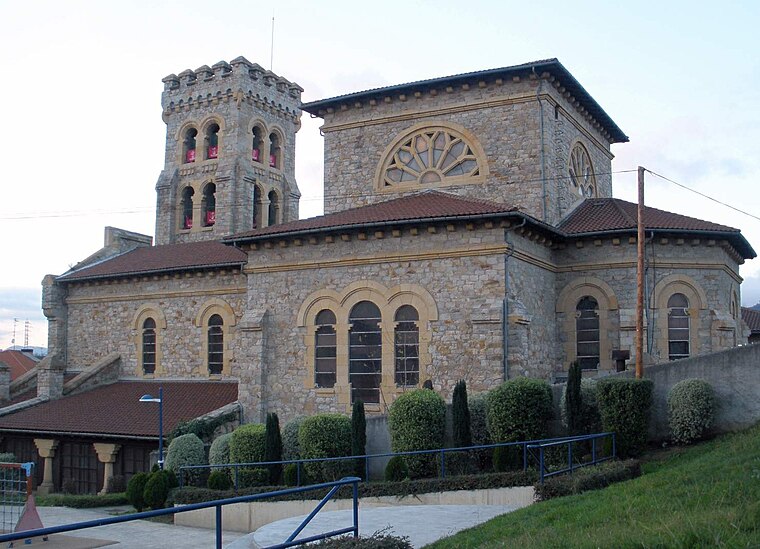
Photo: Zarateman, CC BY-SA 4.0.
Etxebarri, Doneztebeko Elizatea is a town and municipality located in the province of Biscay, in the Autonomous Basque Community, in the North of Spain.
Arrigorriaga
Town
 Arrigorriaga is a town and municipality located in the province of Bizkaia, in the autonomous community of Basque Country, northern Spain. Arrigorriaga is located 7 km south of Bilbao and is part of Bilbao's metropolitan area.
Belaustegi Gana (Aretzak)
- Type: Peak with an elevation of 137 metres
- Category: landform
- Location: Galdakao, Biscay, Basque Country, Northern Spain, Spain, Iberia, Europe
- View on OpenStreetMap
Latitude
43.2379° or 43° 14′ 17″ northLongitude
-2.8403° or 2° 50′ 25″ westElevation
137 metres (449 feet)Open location code
8CMV65Q5+5VOpenStreetMap ID
node 10925686924OpenStreetMap feature
natural=peak
This page is based on OpenStreetMap, Wikidata, and Wikimedia Commons.
We’d love your help improving our open data sources. Thank you for contributing.
Satellite Map
Discover Belaustegi Gana (Aretzak) from above in high-definition satellite imagery.
Localities in the Area
Explore places such as Errekalde and Urreta.
Notable Places Nearby
Highlights include Emakume Dinamitarien Plaza and Elexalde kiroldegia.
Basque Country: Must-Visit Destinations
Delve into Bilbao, San Sebastián, Vitoria-Gasteiz, and Guernica.
Curious Peaks to Discover
Uncover intriguing peaks from every corner of the globe.
About Mapcarta. Data © OpenStreetMap contributors and available under the Open Database License". Text is available under the CC BY-SA 4.0 license, except for photos, directions, and the map. Photo: Ander Abadia Zallo, CC BY 4.0.