Trekkingplatz Barmstedt
Trekkingplatz Barmstedt is a campsite in Barmstedt, Pinneberg, Schleswig-Holstein. Trekkingplatz Barmstedt is situated nearby to the forest Königskoppel, as well as near Großendorfer Gehege.| Tap on a place to explore it |
Places of Interest Nearby
Highlights include Museum der Grafschaft Rantzau and Heiligen-Geist-Kirche (Barmstedt).
Museum der Grafschaft Rantzau
Museum

Photo: Wikimedia, CC BY-SA 3.0.
Museum der Grafschaft Rantzau is situated 2½ km south of Trekkingplatz Barmstedt.
Heiligen-Geist-Kirche (Barmstedt)
Church

Photo: podracerHH, CC BY-SA 3.0.
Heiligen-Geist-Kirche (Barmstedt) is a church, which is situated 2 km southeast of Trekkingplatz Barmstedt.

Places in the Area
Nearby places include Bullenkuhlen and Bevern.
Bullenkuhlen
Village
Bullenkuhlen is a municipality in the district of Pinneberg, in Schleswig-Holstein, Germany. Bullenkuhlen is situated 4½ km south of Trekkingplatz Barmstedt.
Bevern
Village
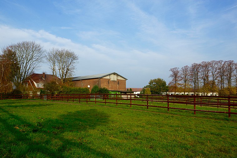
Photo: flamenc, CC BY-SA 3.0.
Bevern is a municipality in the district of Pinneberg, in Schleswig-Holstein, Germany. Bevern is situated 6 km south of Trekkingplatz Barmstedt.
Hemdingen
Village
 Hemdingen is a municipality in the district of Pinneberg, in Schleswig-Holstein, Germany. Hemdingen is situated 7 km southeast of Trekkingplatz Barmstedt.
Trekkingplatz Barmstedt
- Type: Campsite
- Categories: tourism and camping
- Location: Barmstedt, Pinneberg, Schleswig-Holstein, Germany, Central Europe, Europe
- View on OpenStreetMap
Latitude
53.8068° or 53° 48′ 25″ northLongitude
9.76147° or 9° 45′ 41″ eastOperator
Johanna Freese und Gerd MenzelOpen location code
9F5FRQ46+PHOpenStreetMap ID
node 10949334558OpenStreetMap feature
tourism=camp_site
This page is based on OpenStreetMap, Wikidata, and Wikimedia Commons.
We’d love your help improving our open data sources. Thank you for contributing.
Satellite Map
Discover Trekkingplatz Barmstedt from above in high-definition satellite imagery.
Notable Places Nearby
Highlights include Königskoppel and Spielplatz Maderstieg.
Nearby Places
Explore places such as Noacks Baumschulen GmbH and Kirschke Baumschulen.
Schleswig-Holstein: Must-Visit Destinations
Delve into Kiel, Lübeck, Flensburg, and Heligoland.
Curious Campsites to Discover
Uncover intriguing campsites from every corner of the globe.
About Mapcarta. Data © OpenStreetMap contributors and available under the Open Database License". Text is available under the CC BY-SA 4.0 license, except for photos, directions, and the map. Photo: Ypsilon from Finland, CC0.