کلینیک پوست و مو و زیبایی آذین
کلینیک پوست و مو و زیبایی آذین is a clinic in Tehran, Central Iran. کلینیک پوست و مو و زیبایی آذین is situated nearby to the community center دفتر ساعی بادران گستران, as well as near the park بوستان سیما.| Tap on a place to explore it |
Places of Interest Nearby
Highlights include Argentina Square and Sa’i Park.
Argentina Square
Grassland
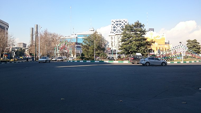
Photo: Ali Safdarian, CC BY 3.0.
Arjantin Square is a square in north central Tehran. The area around the square is home to embassies, businesses, Medical labs, hospitals and the Arjantin Beihaghi Bus Terminal, which is central Tehran's main national bus terminal. Argentina Square is situated 690 metres southeast of کلینیک پوست و مو و زیبایی آذین.

Yusef Abad Synagogue
Synagogue

Photo: Wikimedia, Public domain.
The Yusef Abad Synagogue, officially Sukkat Shalom Synagogue, is an Orthodox Jewish congregation and synagogue, located at the junction of 15th Street and Sayyed Jamáleddin e Asadábádi Ave, in the Yusef Abad neighborhood of Tehran, in Iran. Yusef Abad Synagogue is situated 1½ km south of کلینیک پوست و مو و زیبایی آذین.
Places in the Area
Nearby places include District 6 and District 3.

District 3
Suburb

Photo: Wikimedia, CC BY-SA 2.0.
District 3 is a suburb, which is situated 3½ km northeast of کلینیک پوست و مو و زیبایی آذین.
District 7
Suburb

Photo: Syektaie, CC BY-SA 4.0.
District 7 is a suburb, which is situated 4 km southeast of کلینیک پوست و مو و زیبایی آذین.
کلینیک پوست و مو و زیبایی آذین
- Type: Clinic
- Category: health care
- Location: Tehran, Central Iran, Iran, Middle East, Asia
- View on OpenStreetMap
Latitude
35.74207° or 35° 44′ 31″ northLongitude
51.41089° or 51° 24′ 39″ eastOpen location code
8H7HPCR6+R9OpenStreetMap ID
node 10976987123OpenStreetMap feature
amenity=clinic
This page is based on OpenStreetMap, Wikidata, and Wikimedia Commons.
We’d love your help improving our open data sources. Thank you for contributing.
Satellite Map
Discover کلینیک پوست و مو و زیبایی آذین from above in high-definition satellite imagery.
Notable Places Nearby
Highlights include دفتر ساعی بادران گستران and بوستان سیما.
Nearby Places
Explore places such as کلینیک آذر and Darabi Dental Laboratory.
Tehran: Must-Visit Destinations
Delve into Tehran, Ray, Varamin, and Damavand.
Curious Clinics to Discover
Uncover intriguing clinics from every corner of the globe.
About Mapcarta. Data © OpenStreetMap contributors and available under the Open Database License". Text is available under the CC BY-SA 4.0 license, except for photos, directions, and the map. Photo: Wikimedia, CC0.