Union NB @ Hurd
Union NB @ Hurd is a bus stop in Ontario, Canada. Union NB @ Hurd is situated nearby to Prince Albert Cemetery, as well as near the town Port Perry.| Tap on a place to explore it |
Places of Interest Nearby
Highlights include Lakeridge Health Port Perry and Port Perry High School.
Lakeridge Health Port Perry
Hospital
Lakeridge Health Port Perry is a hospital located in Port Perry, Ontario, Canada. The hospital serves the townships of Scugog, Brock and Uxbridge in Durham Region. Lakeridge Health Port Perry is situated 2 km north of Union NB @ Hurd.
Port Perry High School
School
Port Perry High School is a secondary school that serves students from grades 9 to 12 in Port Perry, Ontario. Port Perry High School is situated 2 km north of Union NB @ Hurd.
Places in the Area
Nearby places include Port Perry and Scugog.
Port Perry
Town
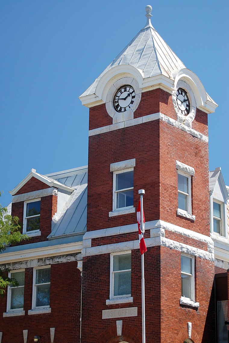
Photo: jvetterli, CC BY-SA 2.0.
Port Perry is a community located in Scugog, Ontario, Canada. The town is located 84 kilometres northeast of central Toronto, north of Oshawa, and east of Whitby.
Scugog

Photo: Camera Eye Photography, CC BY 2.0.
Scugog is a township of about 22,000 people in the Durham region of the Greater Toronto Area, in Ontario. Visitors come for the outdoor activities, small town vibe, and Port Perry's heritage downtown.
Myrtle Station
Hamlet
Myrtle Station is a community in the town of Whitby, Ontario, Canada. Myrtle Station is located approximately one kilometre north of the community of Myrtle. Myrtle Station is situated 8 km south of Union NB @ Hurd.
Union NB @ Hurd
- Type: Bus stop
- Category: transportation
- Location: Ontario, Canada, North America
- View on OpenStreetMap
Latitude
44.08541° or 44° 5′ 8″ northLongitude
-78.95086° or 78° 57′ 3″ westNetwork
Durham Region TransitOpen location code
87P332PX+5MOpenStreetMap ID
node 11033643013OpenStreetMap feature
highway=bus_stopOpenStreetMap feature
public_transport=platform
This page is based on OpenStreetMap, Wikidata, and Wikimedia Commons.
We’d love your help improving our open data sources. Thank you for contributing.
Satellite Map
Discover Union NB @ Hurd from above in high-definition satellite imagery.
Notable Places Nearby
Highlights include Prince Albert Cemetery and New Song Church.
Nearby Places
Explore places such as King WB @ Union and king WB @ Old Simcoe.
Ontario: Must-Visit Destinations
Delve into Toronto, Ottawa, Hamilton, and London.
Curious Bus Stops to Discover
Uncover intriguing bus stops from every corner of the globe.
About Mapcarta. Data © OpenStreetMap contributors and available under the Open Database License". Text is available under the CC BY-SA 4.0 license, except for photos, directions, and the map. Photo: Wikimedia, CC BY-SA 2.0.