Ueli Abbühl
Ueli Abbühl is a doctor’s office in Solothurn, Canton of Solothurn which is located on Zuchwilerstrasse. Ueli Abbühl is situated nearby to the mosque Fatih-Moschee, as well as near the recreation area Royal Kids Club.| Tap on a place to explore it |
- Email: ueli.abbuehl@hin.ch
- Type: Doctor’s office
- Address: Zuchwilerstrasse 43, Solothurn
Places of Interest Nearby
Highlights include Solothurn railway station and Solothurn Cathedral.
Solothurn railway station
Railway station

Photo: Wikimedia, CC BY-SA 3.0.
Solothurn railway station serves the municipality of Solothurn, the capital city of the Canton of Solothurn, Switzerland. Solothurn is a major railway junction and is served by six railway lines. Solothurn railway station is situated 170 metres northwest of Ueli Abbühl.
Solothurn Cathedral
Church

Photo: Taxiarchos228, CC BY-SA 3.0.
The St. Ursus Cathedral or Solothurn Cathedral is the cathedral of the Roman Catholic Diocese of Basel in the city of Solothurn, Switzerland. It is a Swiss heritage site of national significance. Solothurn Cathedral is situated 680 metres northwest of Ueli Abbühl.
Museum of Natural History Solothurn
Museum

Photo: Raysydney, CC BY-SA 3.0.
Museum of Natural History Solothurn is situated 590 metres northwest of Ueli Abbühl.
Places in the Area
Nearby places include Zuchwil and Feldbrunnen-St. Niklaus.
Zuchwil
Village

Photo: IqRS, CC BY-SA 2.0 de.
Zuchwil is a municipality in the district of Wasseramt in the canton of Solothurn in Switzerland.
Feldbrunnen-St. Niklaus
Village

Photo: Gestumblindi, CC BY 3.0.
Feldbrunnen-St. Niklaus is a municipality in the district of Lebern in the canton of Solothurn in Switzerland.
Biberist
Village
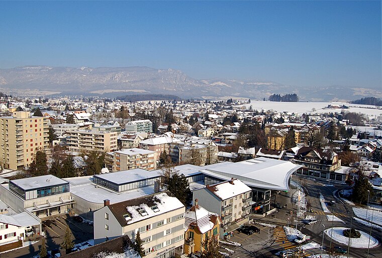
Photo: Ch-info.ch, CC BY-SA 3.0.
Biberist is a municipality in the district of Wasseramt in the canton of Solothurn in Switzerland. Biberist is situated 3 km southeast of Ueli Abbühl.
Ueli Abbühl
- Category: health care
- Location: Solothurn, Bezirk Solothurn, Canton of Solothurn, Berne Region, Switzerland, Central Europe, Europe
- View on OpenStreetMap
Latitude
47.20303° or 47° 12′ 11″ northLongitude
7.54399° or 7° 32′ 38″ eastOpen location code
8FV96G3V+6HOpenStreetMap ID
node 11034235188OpenStreetMap feature
amenity=doctorsOpenStreetMap feature
healthcare=doctor
This page is based on OpenStreetMap, Wikidata, and Wikimedia Commons.
We’d love your help improving our open data sources. Thank you for contributing.
Satellite Map
Discover Ueli Abbühl from above in high-definition satellite imagery.
Notable Places Nearby
Highlights include Fatih-Moschee and Royal Kids Club.
Nearby Places
Explore places such as Rückenschmerz-Zentrum Solothurn and Peter Moser.
Curious Doctor’s Offices to Discover
Uncover intriguing doctor’s offices from every corner of the globe.
About Mapcarta. Data © OpenStreetMap contributors and available under the Open Database License". Text is available under the CC BY-SA 4.0 license, except for photos, directions, and the map. Photo: Wikimedia, CC0.