Zonder tafel
Zonder tafel is a work of art in Government of Amsterdam, North Holland. Zonder tafel is situated nearby to the church Koninkrijkszaal, as well as near Doopsgezinde Gemeente, Amsterdam-Noord.| Tap on a place to explore it |
Places of Interest Nearby
Highlights include Doopsgezinde Gemeente, Amsterdam-Noord and Nieuwendammersluis.
Doopsgezinde Gemeente, Amsterdam-Noord
Church

Photo: Ilonamay, CC BY-SA 3.0 nl.
Doopsgezinde Gemeente, Amsterdam-Noord is a church, which is situated 210 metres south of Zonder tafel.
Nieuwendammersluis
Lock
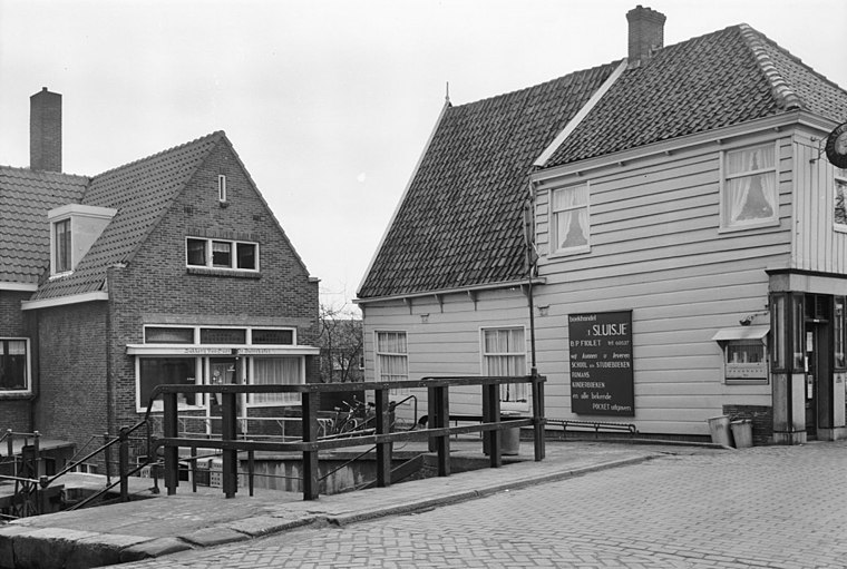
Photo: Wikimedia, CC BY-SA 4.0.
Nieuwendammersluis is a lock, which is situated 470 metres southeast of Zonder tafel.
Metropolitan Region Amsterdam
Government office

Photo: Swimmerguy269, CC BY-SA 3.0.
The Metropolitan Region Amsterdam is the city region around the city of Amsterdam, the capital of the Netherlands. It lies in the Noordvleugel of the larger polycentric Randstad conurbation area and encompasses the city of Amsterdam as well as 36 further municipalities within the two provinces of North Holland and Flevoland, with a total population of over 2.5 million inhabitants. Metropolitan Region Amsterdam is situated 1 km north of Zonder tafel.
Places in the Area
Nearby places include Tuindorp Nieuwendam and Noord.
Noord

Photo: Jos van Zetten, CC BY 2.0.
Noord is the borough of Amsterdam north of the IJ. It is a residential district, and with about 86,000 inhabitants, it is a medium-sized city. This district has remained well off the radar among tourists visiting Amsterdam, so amenities are not well-developed.
Floradorp
Neighborhood
Floradorp is a neighborhood of Amsterdam-Noord, Netherlands in the Dutch province of North Holland. The neighborhood is bordered in the north by the Buiksloterdijk, in the east by the Noorderpark and the Noordhollandsch Kanaal, in the west by the Klaprozenweg and in the south by the Sneeuwbalstraat in the Bloemenbuurt.
Zonder tafel
- Type: Work of art
- Artwork type: sculpture
- Category: tourism
- Location: Government of Amsterdam, North Holland, Western Netherlands, Netherlands, Benelux, Europe
- View on OpenStreetMap
Latitude
52.39412° or 52° 23′ 39″ northLongitude
4.93342° or 4° 56′ 0″ eastOpen location code
9F469WVM+J9OpenStreetMap ID
node 11055094349OpenStreetMap feature
tourism=artworkOpenStreetMap attribute
artwork_type=sculpture
This page is based on OpenStreetMap, Wikidata, and Wikimedia Commons.
We’d love your help improving our open data sources. Thank you for contributing.
Satellite Map
Discover Zonder tafel from above in high-definition satellite imagery.
Notable Places Nearby
Highlights include Koninkrijkszaal and Nollewoudsbrug.
Nearby Places
Explore places such as Nieuwe Purmerweg and Nieuwe Purmerweg.
North Holland: Must-Visit Destinations
Delve into Amsterdam, Haarlem, Alkmaar, and Schiphol Airport.
Curious Work Of Arts to Discover
Uncover intriguing work of arts from every corner of the globe.
About Mapcarta. Data © OpenStreetMap contributors and available under the Open Database License". Text is available under the CC BY-SA 4.0 license, except for photos, directions, and the map. Photo: Arch, Public domain.