Plantfood
Plantfood is a health food store in Tower Hamlets, Greater London, England which is located on e. Plantfood is situated nearby to the recreation area Rebel’s Retreat, as well as near Outdoor Classroom.| Tap on a place to explore it |
Places of Interest Nearby
Highlights include London Stadium and Tower Hamlets Cemetery Park.
London Stadium
Stadium

Photo: Arne mueseler, CC BY-SA 3.0 de.
London Stadium is a multi-purpose outdoor stadium at Queen Elizabeth Olympic Park in the Stratford district of London. It is located in the Lower Lea Valley, 6 miles east of central London. London Stadium is situated 1 mile north of Plantfood.
Tower Hamlets Cemetery Park
Nature reserve

Photo: LoopZilla, CC BY-SA 4.0.
Tower Hamlets Cemetery Park is a historic cemetery,public park and local nature reserve in the London Borough of Tower Hamlets within the East End of London.
Devons Road DLR station
Railway station

Photo: Wikimedia, CC BY-SA 2.5.
Devons Road is a Docklands Light Railway station located in Bromley-by-Bow. The station takes its name from Devons Road and is between Langdon Park and Bow Church stations. Devons Road DLR station is situated 1,500 feet east of Plantfood.
Places in the Area
Nearby places include Bromley-by-Bow and Mile End.
Bromley-by-Bow
Quarter
Bromley-by-Bow is a district in the London Borough of Tower Hamlets in East London, located on the western banks of the River Lea, in the Lower Lea Valley in East London.
Mile End
Suburb
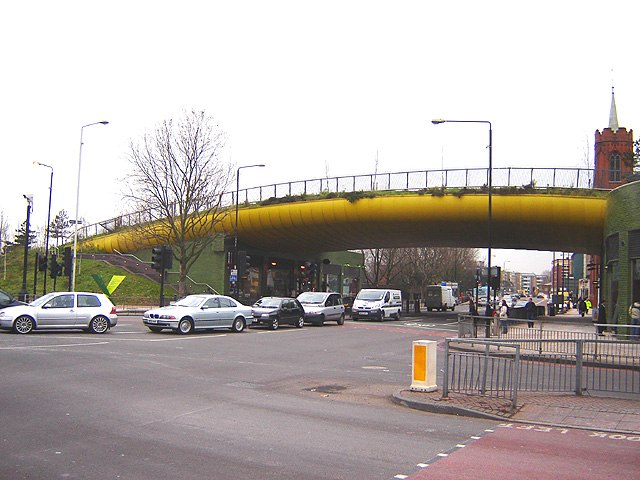
Photo: Tarquin Binary, CC BY-SA 2.5.
Mile End is an area in London, England and is located in the London Borough of Tower Hamlets. It is in East London and part of the East End. It is 4.2 miles east of Charing Cross.
Bow
Suburb
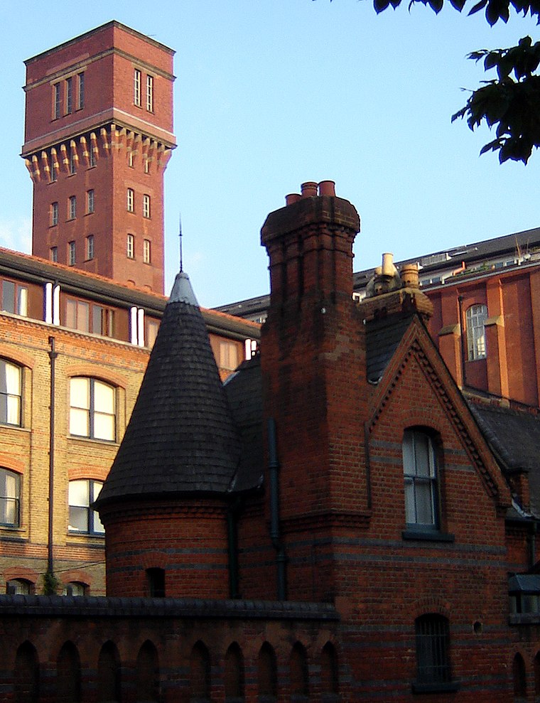
Photo: Wikimedia, CC BY-SA 2.5.
Bow is a district in East London, England and is in the London Borough of Tower Hamlets. It is an inner-city suburb located 4.6 miles east of Charing Cross.
Plantfood
- Type: Health food store
- Address: 40, e
- Categories: shop and food
- Location: Tower Hamlets, Greater London, England, United Kingdom, Britain and Ireland, Europe
- View on OpenStreetMap
Latitude
51.52315° or 51° 31′ 23″ northLongitude
-0.02383° or 0° 1′ 26″ westOpen location code
9C3XGXFG+7FOpenStreetMap ID
node 11081611304OpenStreetMap feature
shop=health_food
This page is based on OpenStreetMap, Wikidata, and Wikimedia Commons.
We’d love your help improving our open data sources. Thank you for contributing.
Satellite Map
Discover Plantfood from above in high-definition satellite imagery.
Places with the Same Name
Discover other places named “Plantfood”.
Notable Places Nearby
Highlights include Rebel’s Retreat and Outdoor Classroom.
Nearby Places
Explore places such as Millennium Trail 13 and French graves.
England: Must-Visit Destinations
Delve into London, Manchester, Sheffield, and Leeds.
Curious Health Food Stores to Discover
Uncover intriguing health food stores from every corner of the globe.
About Mapcarta. Data © OpenStreetMap contributors and available under the Open Database License". Text is available under the CC BY-SA 4.0 license, except for photos, directions, and the map. Photo: sidibousaid, CC BY 2.0.