Mini-forêt Miyawaki
Mini-forêt Miyawaki is in Margny-lès-Compiègne, Arrondissement of Compiègne, Hauts-de-France. Mini-forêt Miyawaki is situated nearby to the cemetery Cimetière de Margny-Lès-Compiègne, as well as near the government office Services Techniques.| Tap on a place to explore it |
Places of Interest Nearby
Highlights include Compiègne station and Église Sainte-Jeanne-d’Arc de Margny-lès-Compiègne.
Compiègne station
Railway station

Photo: Wikimedia, CC BY-SA 2.0.
Compiègne station is a railway station serving Compiègne, in the Oise department of northern France. The station is on the Creil–Jeumont railway. It is served by regional trains to Creil, Amiens, Saint-Quentin and Paris. Compiègne station is situated 1 km southeast of Mini-forêt Miyawaki.
Église Sainte-Jeanne-d’Arc de Margny-lès-Compiègne
Church

Photo: Bender607, CC BY-SA 4.0.
Église Sainte-Jeanne-d’Arc de Margny-lès-Compiègne is a church, which is situated 610 metres east of Mini-forêt Miyawaki.
Compiègne Margny Airfield
Aerodrome
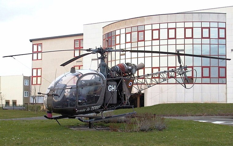
Photo: Sting, CC BY-SA 2.5.
Compiègne Margny Airfield is an aerodrome.
Places in the Area
Nearby places include Venette and Compiègne.
Venette
Village

Photo: P.poschadel, CC BY-SA 3.0.
Venette is a commune in the Oise department in northern France. The town is located along the river Oise, near Compiègne.
Compiègne
Town

Photo: Baidax, CC BY-SA 4.0.
Compiègne is a commune in the Oise department of northern France. It is located on the river Oise, and its inhabitants are called Compiégnois.
Bienville
Village

Photo: Peter17, CC BY-SA 3.0.
Bienville is a commune in the Oise department in northern France… Bienville is situated 3 km northeast of Mini-forêt Miyawaki.
Mini-forêt Miyawaki
- Type: Sign
- Categories: information and tourism
- Location: Margny-lès-Compiègne, Arrondissement of Compiègne, Oise, Hauts-de-France, France, Europe
- View on OpenStreetMap
Latitude
49.4258° or 49° 25′ 33″ northLongitude
2.81018° or 2° 48′ 37″ eastOpen location code
8FX4CRG6+83OpenStreetMap ID
node 11091723667OpenStreetMap feature
tourism=information
This page is based on OpenStreetMap, Wikidata, and Wikimedia Commons.
We’d love your help improving our open data sources. Thank you for contributing.
Satellite Map
Discover Mini-forêt Miyawaki from above in high-definition satellite imagery.
Places with the Same Name
Discover other places named “Mini-forêt Miyawaki”.
Notable Places Nearby
Highlights include Cimetière de Margny-Lès-Compiègne and Services Techniques.
Nearby Places
Explore places such as Claire Le Meur and Barthou.
Hauts-de-France: Must-Visit Destinations
Delve into Lille, Dunkirk, Calais, and Amiens.
Curious Places to Discover
Uncover intriguing places from every corner of the globe.
About Mapcarta. Data © OpenStreetMap contributors and available under the Open Database License". Text is available under the CC BY-SA 4.0 license, except for photos, directions, and the map. Photo: Popolon, CC BY-SA 3.0.