Petrolio
Petrolio is a gas station in Rizal, Calabarzon. Petrolio is situated nearby to Uno Bridge, as well as near the public building MRF Facility.| Tap on a place to explore it |
Places in the Area
Nearby places include Teresa and Antipolo.
Teresa
Town

Photo: Ramon FVelasquez, CC BY-SA 3.0.
Teresa, officially the Municipality of Teresa, is a municipality in the province of Rizal, Philippines. According to the 2024 census, it has a population of 67,454 people.
Antipolo

Photo: IJVelas, CC BY-SA 3.0.
Antipolo is a city in Rizal Province, Philippines. Sitting above a plateau 200 m above sea level, Antipolo is a respite from Manila's chaos, allowing a scenic view of an otherwise crowded and bustling metropolis.
Morong
Town
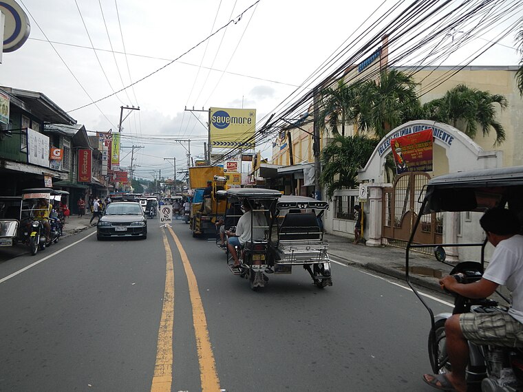
Photo: Ramon FVelasquez, CC BY-SA 3.0.
Morong, officially the Municipality of Morong, is a municipality located in the province of Rizal, Philippines. As per the 2024 census, Morong has a population of 72,262 people. Morong is situated 7 km southeast of Petrolio.
Petrolio
- Type: Gas station
- Category: transportation
- Location: Rizal, Calabarzon, Luzon, Philippines, Southeast Asia, Asia
- View on OpenStreetMap
Latitude
14.57239° or 14° 34′ 21″ northLongitude
121.21324° or 121° 12′ 48″ eastOpen location code
7Q63H6C7+X7OpenStreetMap ID
node 11092273448OpenStreetMap feature
amenity=fuel
This page is based on OpenStreetMap, Wikidata, and Wikimedia Commons.
We’d love your help improving our open data sources. Thank you for contributing.
Satellite Map
Discover Petrolio from above in high-definition satellite imagery.
Places with the Same Name
Discover other places named “Petrolio”.
Notable Places Nearby
Highlights include Uno Bridge and MRF Facility.
Nearby Places
Explore places such as Teresa Municipal Integrated Solid Waste Management Facility and Teresa Digital.
Rizal: Must-Visit Destinations
Delve into Antipolo, Cainta, Rodriguez, and Angono.
Curious Gas Stations to Discover
Uncover intriguing gas stations from every corner of the globe.
About Mapcarta. Data © OpenStreetMap contributors and available under the Open Database License". Text is available under the CC BY-SA 4.0 license, except for photos, directions, and the map. Photo: Wikimedia, CC0.