Stadt Osthofen
Stadt Osthofen is in Osthofen, Alzey-Worms, Rhineland-Palatinate. Stadt Osthofen is situated nearby to the cemetery Bergfriedhof, as well as near the church Bergkirche (Osthofen).| Tap on a place to explore it |
Places of Interest Nearby
Highlights include Bergkirche (Osthofen) and St. Remigius (Osthofen).
Bergkirche (Osthofen)
Church

Photo: Wikimedia, CC BY-SA 3.0.
Bergkirche (Osthofen) is a church, which is situated 180 metres northeast of Stadt Osthofen.
St. Remigius (Osthofen)
Church
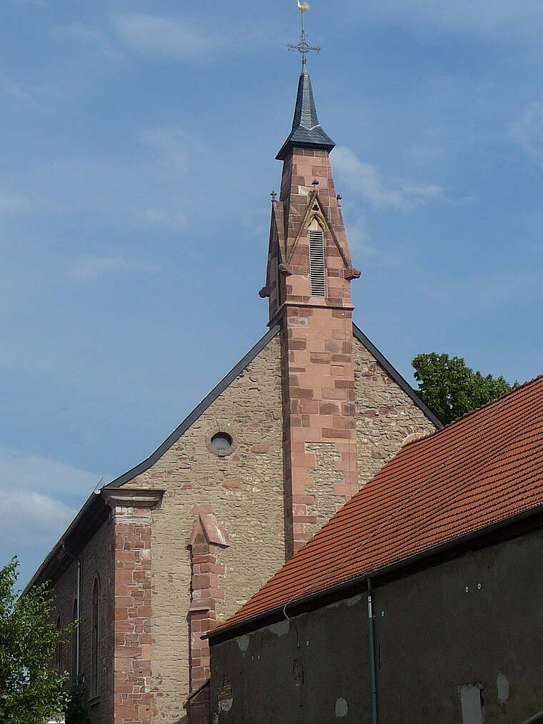
Photo: Immanuel Giel, CC BY-SA 3.0.
St. Remigius (Osthofen) is a church, which is situated 430 metres northeast of Stadt Osthofen.
Small Church
Church

Photo: Immanuel Giel, CC BY-SA 4.0.
Small Church is situated 510 metres northeast of Stadt Osthofen.
Places in the Area
Nearby places include Bechtheim and Abenheim.
Bechtheim
Village

Photo: Symposiarch, CC BY-SA 3.0.
Bechtheim is an Ortsgemeinde – a municipality belonging to a Verbandsgemeinde, a kind of collective municipality – in the Alzey-Worms district in Rhineland-Palatinate, Germany. It belongs to the Verbandsgemeinde of Wonnegau, whose seat is in Osthofen. Bechtheim is situated 3½ km northwest of Stadt Osthofen.
Abenheim
Suburb

Photo: Hermann Luyken, CC0.
Abenheim is a suburb, which is situated 3½ km southwest of Stadt Osthofen.
Mettenheim
Village

Photo: Zumthie, Public domain.
Mettenheim is an Ortsgemeinde – a municipality belonging to a Verbandsgemeinde, a kind of collective municipality – in the Alzey-Worms district in Rhineland-Palatinate, Germany. Mettenheim is situated 4 km north of Stadt Osthofen.
Stadt Osthofen
- Type: Sign
- Categories: information and tourism
- Location: Osthofen, Alzey-Worms, Rhineland-Palatinate, Germany, Central Europe, Europe
- View on OpenStreetMap
Latitude
49.70124° or 49° 42′ 5″ northLongitude
8.31655° or 8° 18′ 60″ eastOpen location code
8FXCP828+FJOpenStreetMap ID
node 11131825150OpenStreetMap feature
tourism=information
This page is based on OpenStreetMap, Wikidata, and Wikimedia Commons.
We’d love your help improving our open data sources. Thank you for contributing.
Satellite Map
Discover Stadt Osthofen from above in high-definition satellite imagery.
Places with the Same Name
Discover other places named “Stadt Osthofen”.
Notable Places Nearby
Highlights include Bergfriedhof and Rotes Häuschen.
Nearby Places
Explore places such as RheinTerrassenWeg and Osthofen, Parkplatz Friedhof.
Rhineland-Palatinate: Must-Visit Destinations
Delve into Mainz, Trier, Koblenz, and Worms.
Curious Places to Discover
Uncover intriguing places from every corner of the globe.
About Mapcarta. Data © OpenStreetMap contributors and available under the Open Database License". Text is available under the CC BY-SA 4.0 license, except for photos, directions, and the map. Photo: Traveler100, CC BY-SA 3.0.