Stonnington Sports Centre
Stonnington Sports Centre is a sports venue in Stonnington, Melbourne, Victoria. Stonnington Sports Centre is situated nearby to Percy Treyvaud Memorial Park, as well as near the playground Percy Park.| Tap on a place to explore it |
Places of Interest Nearby
Highlights include Chadstone Shopping Centre and East Malvern railway station.
Chadstone Shopping Centre
Shopping center

Photo: Wanderingchina, CC BY 4.0.
Chadstone Shopping Centre is a major shopping centre in the south-eastern Melbourne suburb of Malvern East. It is the "largest shopping centre in Australia" and claims to be the "largest shopping centre in the Southern Hemisphere". Chadstone Shopping Centre is situated 510 metres south of Stonnington Sports Centre.
East Malvern railway station
Railway station
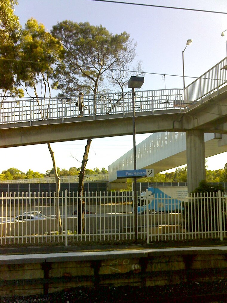
Photo: Dtfman, Public domain.
East Malvern railway station is a commuter railway station on the Glen Waverley line, which is part of the Melbourne railway network. It serves the eastern suburb of Malvern East, in Melbourne, Victoria, Australia. East Malvern railway station is situated 1¼ km northwest of Stonnington Sports Centre.
Hughesdale railway station
Railway station

Photo: Cuddy Wifter, CC BY-SA 4.0.
Hughesdale railway station is a commuter railway station on the Pakenham and Cranbourne lines, part of the Melbourne railway network. It serves the south-eastern suburb of Murrumbeena, in Melbourne, Victoria, Australia. Hughesdale railway station is situated 1½ km south of Stonnington Sports Centre.
Places in the Area
Nearby places include Syndal and Hawthorn East.
Syndal
Neighborhood
Syndal is a Locality in the Melbourne suburbs of Glen Waverley and Mount Waverley in Victoria, Australia around the intersection of High Street Road and Blackburn Road. Syndal is situated 6 km east of Stonnington Sports Centre.
Hawthorn East
Suburb
Hawthorn East is a suburb of Melbourne, Victoria, Australia, 7 km east of the Melbourne central business district, located within the City of Boroondara local government area. Hawthorn East is situated 6 km northwest of Stonnington Sports Centre.
Laburnum
Neighborhood
Laburnum refers to a small area in the 'Bellbird' area of the suburb of Blackburn, Victoria, Australia. It covers the area bordered by Middleborough and Blackburn Roads, Gardiners Creek and the Belgrave/Lilydale railway line. Laburnum is situated 9 km northeast of Stonnington Sports Centre.
Stonnington Sports Centre
- Type: Sports venue
- Categories: recreation area and sports location
- Location: Stonnington, Melbourne, Victoria, Australia, Oceania
- View on OpenStreetMap
Latitude
-37.88214° or 37° 52′ 56″ southLongitude
145.08057° or 145° 4′ 50″ eastOpen location code
4RJ7439J+46OpenStreetMap ID
node 11192102577OpenStreetMap feature
leisure=sports_centre
This page is based on OpenStreetMap, Wikidata, and Wikimedia Commons.
We’d love your help improving our open data sources. Thank you for contributing.
Satellite Map
Discover Stonnington Sports Centre from above in high-definition satellite imagery.
Notable Places Nearby
Highlights include Percy Treyvaud Memorial Park and Percy Park.
Nearby Places
Explore places such as Chadstone Motors and The Valley.
Melbourne: Must-Visit Destinations
Delve into CBD, Eastern suburbs, Melbourne Airport, and Western suburbs.
Curious Sports Venues to Discover
Uncover intriguing sports venues from every corner of the globe.
About Mapcarta. Data © OpenStreetMap contributors and available under the Open Database License". Text is available under the CC BY-SA 4.0 license, except for photos, directions, and the map. Photo: Jorge Láscar, CC BY 2.0.