Nolan Roadmarking
Nolan Roadmarking is a paint store in Aberavon, Neath Port Talbot, Wales. Nolan Roadmarking is situated nearby to the recreation area Playhem, as well as near the school Ysgol Bae Baglan.| Tap on a place to explore it |
Places of Interest Nearby
Highlights include Baglan railway station and Neath Port Talbot Hospital.
Baglan railway station
Railway station

Photo: Gareth Lovering, CC BY-SA 2.0.
Baglan railway station is a minor station in the village of Baglan in Neath Port Talbot county borough, south Wales. It is 204 miles 53 chains from the zero point at London Paddington, measured via Stroud. Baglan railway station is situated 2,000 feet northeast of Nolan Roadmarking.
Neath Port Talbot Hospital
Hospital

Photo: Alan Hughes, CC BY-SA 2.0.
Neath Port Talbot Hospital is a general hospital located in Port Talbot, Wales. It is managed by Swansea Bay University Health Board. Neath Port Talbot Hospital is situated 1¼ miles southeast of Nolan Roadmarking.
Aberavon Beach
Beach

Photo: Darren Wyn Rees, CC BY-SA 4.0.
Aberavon Beach, also known as Aberavon Sands, is a three-mile stretch of sandy beach on the north-eastern edge of Swansea Bay in Port Talbot, Wales. With its high breaker waves, it is popular with surfers. Aberavon Beach is situated 1¼ miles south of Nolan Roadmarking.
Places in the Area
Nearby places include Baglan and Briton Ferry.
Baglan
Village

Photo: Chris Shaw, CC BY-SA 2.0.
Baglan is a village in Wales, adjoining Port Talbot, named after Saint Baglan. It is also a community and ward in the Neath Port Talbot county borough.
Briton Ferry
Town
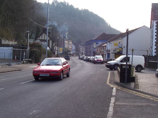
Photo: Steve Rigg, CC BY-SA 2.0.
Briton Ferry is a town and community in the county borough of Neath Port Talbot, Wales. The Welsh name may indicate that the church, llan, is protected from the wind, awel. Briton Ferry is situated 1½ miles north of Nolan Roadmarking.
Port Talbot

Photo: Kevin Corcoran, CC BY-SA 2.0.
Port Talbot is an industrial town in South Wales. It is located in the county borough of Neath Port Talbot, part of the traditional county of Glamorgan and has a population of around 32,000.
Nolan Roadmarking
- Type: Paint store
- Category: shop
- Location: Aberavon, Neath Port Talbot, Wales, United Kingdom, Britain and Ireland, Europe
- View on OpenStreetMap
Latitude
51.61179° or 51° 36′ 42″ northLongitude
-3.81726° or 3° 49′ 2″ westOpen location code
9C3RJ56M+P3OpenStreetMap ID
node 11218004420OpenStreetMap feature
shop=paint
This page is based on OpenStreetMap, Wikidata, and Wikimedia Commons.
We’d love your help improving our open data sources. Thank you for contributing.
Satellite Map
Discover Nolan Roadmarking from above in high-definition satellite imagery.
Notable Places Nearby
Highlights include Playhem and Ysgol Bae Baglan.
Nearby Places
Explore places such as Foredowel Ltd. and Holt JCB.
Wales: Must-Visit Destinations
Delve into Cardiff, Swansea, Llanfairpwllgwyngyll, and Newport.
Curious Paint Stores to Discover
Uncover intriguing paint stores from every corner of the globe.
About Mapcarta. Data © OpenStreetMap contributors and available under the Open Database License". Text is available under the CC BY-SA 4.0 license, except for photos, directions, and the map. Photo: fionamcallisterphotography, CC BY 2.0.