Pla de Selfa
Pla de Selfa is a locality in Alicante, Costa Blanca, Valencian Community. Pla de Selfa is situated nearby to the hamlet Urbanització El Pintat, as well as near Cases del Poll.| Tap on a place to explore it |
Places in the Area
Nearby places include Sant Vicent del Raspeig/San Vicente del Raspeig and Agost.
Sant Vicent del Raspeig/San Vicente del Raspeig
Town
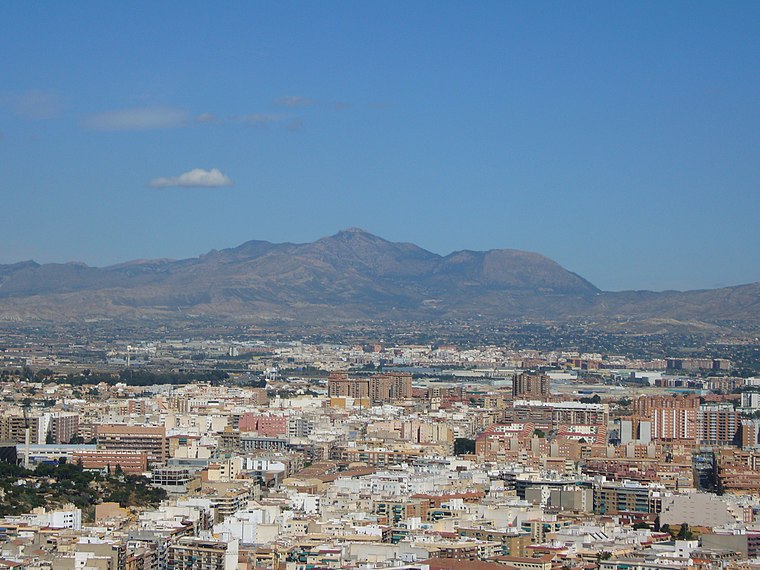 Sant Vicent del Raspeig or San Vicente del Raspeig, or simply Sant Vicent / San Vicente, is a municipality located in the comarca of Alacantí, in the province of Alicante, Spain, inside the conurbation of Alicante city. Sant Vicent del Raspeig/San Vicente del Raspeig is situated 4½ km east of Pla de Selfa.
Agost
 Agost is a town of 4,700 people in the province of Alicante, about 18 km from the provincial capital Alicante. For centuries the town has been known for its ceramics.
Villafranqueza
Suburb

Photo: RayRMC, CC BY-SA 4.0.
Villafranqueza is a suburb, which is situated 8 km east of Pla de Selfa.
Pla de Selfa
- Type: Locality
- Location: Alicante, Costa Blanca, Alicante, Valencian Community, Eastern Spain, Spain, Iberia, Europe
- View on OpenStreetMap
Latitude
38.40799° or 38° 24′ 29″ northLongitude
-0.57411° or 0° 34′ 27″ westOpen location code
8CCXCC5G+59OpenStreetMap ID
node 11229806460OpenStreetMap feature
place=locality
This page is based on OpenStreetMap, Wikidata, and Wikimedia Commons.
We’d love your help improving our open data sources. Thank you for contributing.
Satellite Map
Discover Pla de Selfa from above in high-definition satellite imagery.
In Other Languages
“Pla de Selfa” goes by many names.
- Catalan: “Pla de Selfa”
Localities in the Area
Explore places such as Urbanització El Pintat and Cases del Poll.
Notable Places Nearby
Highlights include Centre Social el Moralet and Col·legi d’Educació Infantil i Primària Cañada del Fenollar.
Costa Blanca: Must-Visit Destinations
Delve into Elche, Benidorm, Torrevieja, and Dénia.
Curious Localities to Discover
Uncover intriguing localities from every corner of the globe.
About Mapcarta. Data © OpenStreetMap contributors and available under the Open Database License". Text is available under the CC BY-SA 4.0 license, except for photos, directions, and the map. Photo: sergiomas, CC BY 2.0.