UCCE Santa Clara
UCCE Santa Clara is an office in Santa Clara County, California which is located on Berger Drive. UCCE Santa Clara is situated nearby to the public building Building 1, as well as near the government office Santa Clara County Registrar of Voters.| Tap on a place to explore it |
Places of Interest Nearby
Highlights include San Jose Flea Market and Bay 101.
San Jose Flea Market
Marketplace
 The San Jose Flea Market is an urban flea market, located in Berryessa district of San Jose, California. San Jose Flea Market is situated 1¼ miles east of UCCE Santa Clara.
Bay 101
Casino
Bay 101 is a cardroom in San Jose, California. Like other California cardrooms, Bay 101 offers poker cash games and tournaments as well as special "California" style table games. Bay 101 is situated 1 mile west of UCCE Santa Clara.
Metro/Airport station
Railway station

Photo: Pedro Xing, CC0.
Metro/Airport station is a light rail station at First Street and Metro Drive in San Jose, California, United States. This station is served by the Blue and Green lines of the VTA light rail system. VTA Bus Route 60 connects to the San Jose International Airport from this station. Metro/Airport station is situated 1 mile west of UCCE Santa Clara.
Places in the Area
Nearby places include Luna Park and Japantown.
Luna Park
Suburb
Luna Park is a neighborhood in San Jose, California. It is bounded by Old Oakland Road/13th Street, Berryessa Road/Highway 101 and North 17th Street. It is named after the Luna Park amusement park built by Audley Ingersoll's of Ingersoll's Amusement and financed by the San Jose Street Car Company as a way of bringing more customers to the area.
Japantown
Suburb
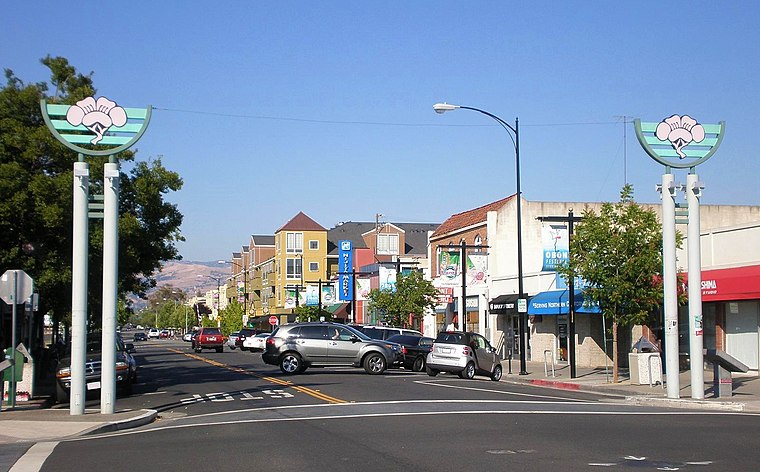
Photo: BrokenSphere, CC BY-SA 3.0.
Japantown, commonly known as J Town, is a historic cultural district of San Jose, California, north of Downtown San Jose. Historically a center for San Jose's Japanese American and Chinese American communities, San Jose's Japantown is one of only three Japantowns that still exist in the United States, alongside San Francisco's Japantown and Los Angeles's Little Tokyo. Japantown is situated 1½ miles south of UCCE Santa Clara.
Berryessa
Suburb
Berryessa is a district of San Jose, California, located in North San Jose. The district is named after the Berryessa family, a prominent Californio family of the Bay Area which historically owned most of the area. Berryessa is situated 2 miles northeast of UCCE Santa Clara.
UCCE Santa Clara
- Type: Educational institution
- Address: Building 1, 1553 Berger Drive, San Jose, CA 95131
- Categories: office and education
- Location: Santa Clara County, California, United States, North America
- View on OpenStreetMap
Latitude
37.37409° or 37° 22′ 27″ northLongitude
-121.89698° or 121° 53′ 49″ westOpen location code
849W94F3+J6OpenStreetMap ID
node 11252223530OpenStreetMap feature
office=educational_institution
This page is based on OpenStreetMap, Wikidata, and Wikimedia Commons.
We’d love your help improving our open data sources. Thank you for contributing.
Satellite Map
Discover UCCE Santa Clara from above in high-definition satellite imagery.
Notable Places Nearby
Highlights include Building 1 and Santa Clara County Registrar of Voters.
Nearby Places
Explore places such as Santa Clara County Service Center and Santa Clara County Vector Control Yard.
California: Must-Visit Destinations
Delve into San Francisco, Los Angeles, San Diego, and Sacramento.
Curious Places to Discover
Uncover intriguing places from every corner of the globe.
About Mapcarta. Data © OpenStreetMap contributors and available under the Open Database License". Text is available under the CC BY-SA 4.0 license, except for photos, directions, and the map. Photo: Wikimedia, CC BY-SA 2.0.