Halifax Way
Halifax Way is a bus stop in Newmarket, Forest Heath District, England. Halifax Way is situated nearby to Paddocks Primary School, as well as near the sports venue Newmarket Rugby Club.| Tap on a place to explore it |
Places of Interest Nearby
Highlights include Newmarket Academy and National Horseracing Museum.
Newmarket Academy
School
Newmarket Academy is a coeducational secondary school with academy status located in Newmarket in the English county of Suffolk. Previously a community school administered by Suffolk County Council, Newmarket College converted to academy status on 1 July 2014 and was renamed Newmarket Academy and became part of the Samuel Ward Academy Trust. Newmarket Academy is situated 1,900 feet southeast of Halifax Way.
National Horseracing Museum
Museum

Photo: Tony Lewis, CC BY-SA 2.0.
The National Horseracing Museum is a museum in Newmarket, Suffolk dedicated to the history of horseracing. It covers a 5-acre site on Palace Street in the centre of the town, having previously been housed in the Jockey Club Rooms on Newmarket High Street. National Horseracing Museum is situated 1 mile southeast of Halifax Way.
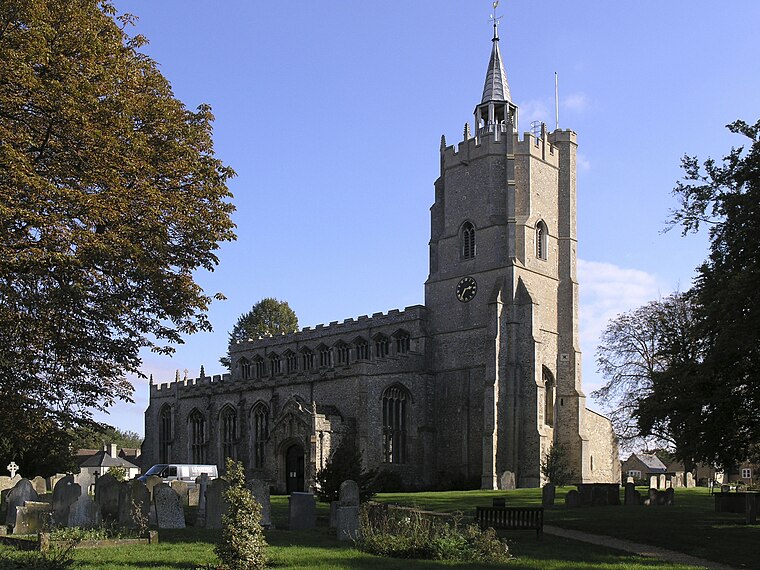
Church of St Mary
Church

Photo: Robert Edwards, CC BY-SA 2.0.
Church of St Mary is situated 4,100 feet southeast of Halifax Way.
Places in the Area
Nearby places include Exning and Snailwell.
Exning
Village

Photo: Bob Jones, CC BY-SA 2.0.
Exning is a village and civil parish in the West Suffolk district of Suffolk in eastern England. It lies just off the A14 trunk road, roughly 12 miles east-northeast of Cambridge, and 10 miles south-southeast of Ely.
Snailwell
Hamlet

Photo: Keith Evans, CC BY-SA 2.0.
Snailwell is a small village and civil parish in East Cambridgeshire, England around 4 kilometres north of Newmarket. Snailwell is situated 2 miles north of Halifax Way.
Burwell
Village
 Burwell is a village and civil parish in Cambridgeshire, England, some 10 miles north-east of Cambridge. It lies on the south-east edge of the Fens. Westward drainage is improved by Cambridgeshire lodes, including Burwell Lode, a growth factor in the village. Burwell is situated 3 miles northwest of Halifax Way.
Halifax Way
- Type: Bus stop
- Category: transportation
- Location: Newmarket, Forest Heath District, Suffolk, East of England, England, United Kingdom, Britain and Ireland, Europe
- View on OpenStreetMap
Latitude
52.25158° or 52° 15′ 6″ northLongitude
0.388° or 0° 23′ 17″ eastOpen location code
9F42792Q+J6OpenStreetMap ID
node 11282078186OpenStreetMap feature
highway=bus_stopOpenStreetMap feature
public_transport=platform
This page is based on OpenStreetMap, Wikidata, and Wikimedia Commons.
We’d love your help improving our open data sources. Thank you for contributing.
Satellite Map
Discover Halifax Way from above in high-definition satellite imagery.
Places with the Same Name
Discover other places named “Halifax Way”.
Notable Places Nearby
Highlights include Paddocks Primary School and Newmarket Rugby Club.
Nearby Places
Explore places such as Halifax Way and Roseberry Way.
Suffolk: Must-Visit Destinations
Delve into Ipswich, Bury St Edmunds, Lowestoft, and Felixstowe.
Curious Bus Stops to Discover
Uncover intriguing bus stops from every corner of the globe.
About Mapcarta. Data © OpenStreetMap contributors and available under the Open Database License". Text is available under the CC BY-SA 4.0 license, except for photos, directions, and the map. Photo: Alarnsen, CC BY-SA 4.0.