Viatt’s Off License & Groceries
Viatt’s Off License & Groceries is a convenience store in England, United Kingdom. Viatt’s Off License & Groceries is situated nearby to Bethel United Church of Jesus Christ, as well as near the recreation area Heald Place Primary School Playing Fields.| Tap on a place to explore it |
Places of Interest Nearby
Highlights include Holy Trinity Platt Church and Manchester Museum.
Holy Trinity Platt Church
Church
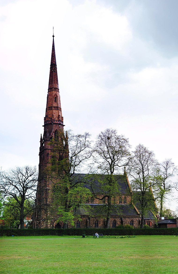
Photo: Nikthestoned, CC BY-SA 3.0.
Holy Trinity Platt Church, is in Platt Fields Park in Rusholme, Manchester, England. It is an active Anglican parish church in the deanery of Hulme, the archdeaconry of Manchester, and the diocese of Manchester. Holy Trinity Platt Church is situated 1,300 feet east of Viatt’s Off License & Groceries.
Manchester Museum
Museum

Photo: DrPhoenix, CC BY-SA 3.0.
Manchester Museum is a museum displaying works of archaeology, anthropology and natural history and is owned by the University of Manchester, in England. Manchester Museum is situated 1 mile north of Viatt’s Off License & Groceries.
The Whitworth
Art gallery

Photo: Charlesdrakew, Public domain.
The Whitworth is an art gallery in Manchester, England, containing over 60,000 items in its collection. The gallery is located in Whitworth Park and is part of the University of Manchester. The Whitworth is situated 3,600 feet north of Viatt’s Off License & Groceries.
Places in the Area
Nearby places include Rusholme and Fallowfield.
Rusholme
Suburb
 Rusholme is an area of Manchester, in Greater Manchester, England, two miles south of the city centre. The population of the ward at the 2011 census was 13,643.
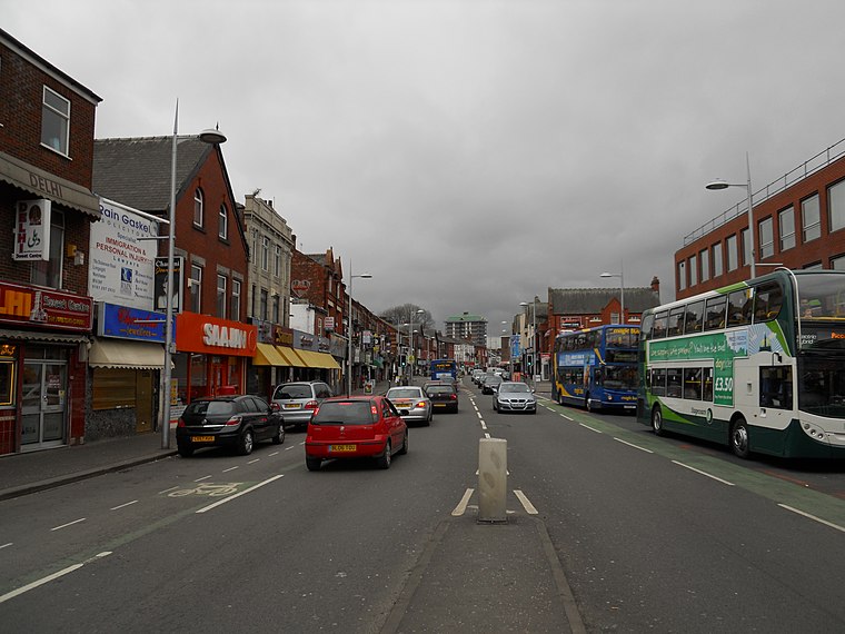
Fallowfield
Suburb
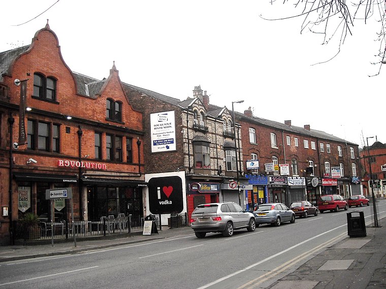
Photo: raver mikey, CC BY 2.0.
Fallowfield is a bustling area of Manchester with a population of 14,869 at the 2021 census. Historically in Lancashire, it lies 3 miles south of Manchester city centre and is bisected east–west by Wilbraham Road and north–south by Wilmslow Road.
Moss Side
Suburb

Photo: Mosscat, Public domain.
Moss Side is an inner-city area of Manchester, England, 1.9 miles south of the city centre. It had a population of 20,745 at the 2021 census. Moss Side is bounded by Hulme to the north, Chorlton-on-Medlock, Rusholme and Fallowfield to the east, Whalley Range to the south, and Old Trafford to the west.
Viatt’s Off License & Groceries
- Opening hours: 9:00 AM—10:00 PM
- Type: Convenience store
- Categories: shop and food
- Location: England, United Kingdom, Britain and Ireland, Europe
- View on OpenStreetMap
Latitude
53.45048° or 53° 27′ 2″ northLongitude
-2.23149° or 2° 13′ 53″ westOpen location code
9C5VFQ29+5COpenStreetMap ID
node 1131398444OpenStreetMap feature
shop=convenience
This page is based on OpenStreetMap, Wikidata, and Wikimedia Commons.
We’d love your help improving our open data sources. Thank you for contributing.
Satellite Map
Discover Viatt’s Off License & Groceries from above in high-definition satellite imagery.
Notable Places Nearby
Highlights include Bethel United Church of Jesus Christ and Heald Place Primary School Playing Fields.
Nearby Places
Explore places such as Moss Side, Yew Tree Road / opposite Horton Road and Moss Side, Yew Tree Road / near Horton Road.
England: Must-Visit Destinations
Delve into London, Manchester, Sheffield, and Leeds.
Curious Convenience Stores to Discover
Uncover intriguing convenience stores from every corner of the globe.
About Mapcarta. Data © OpenStreetMap contributors and available under the Open Database License". Text is available under the CC BY-SA 4.0 license, except for photos, directions, and the map. Photo: sidibousaid, CC BY 2.0.