Chemin de Moda
Chemin de Moda is a clothing store in Laval, Southwestern Quebec, Quebec. Chemin de Moda is situated nearby to the shopping center Les Galeries Laval, as well as near the government office SAAQ.| Tap on a place to explore it |
Places of Interest Nearby
Highlights include Montmorency station and Cosmodome.
Montmorency station
Railway station

Photo: Alexcaban, CC BY-SA 3.0.
Montmorency station is a Montreal Metro station in Laval, Quebec, Canada, operated by the Société de transport de Montréal. It is located in the Laval-des-Rapides borough. Montmorency station is situated 1 km southeast of Chemin de Moda.
Cosmodome
Museum

Photo: husseinabdallah, CC BY 2.0.
The Cosmodome is a space science museum and education centre located in Laval, Quebec, Canada. Cosmodome is the home to both Space Camp Canada and the Space Science Centre. Cosmodome is situated 1 km northwest of Chemin de Moda.
De La Concorde station
Railway station

Photo: Ed7789, CC BY-SA 4.0.
De la Concorde station is an intermodal transit station in Laval, Quebec, Canada. It serves the Montreal Metro's Orange Line and connects to Exo's Saint-Jérôme commuter rail line. De La Concorde station is situated 2 km east of Chemin de Moda.
Places in the Area
Nearby places include Sault-au-Récollet and Bois-Franc.
Sault-au-Récollet
Neighborhood
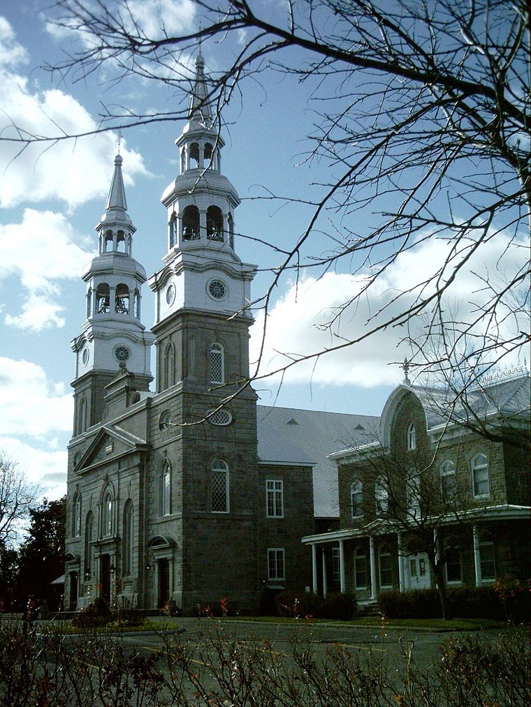
Photo: Wikimedia, CC BY-SA 3.0.
Sault-au-Récollet is a neighbourhood in Montreal. It is located in the eastern edge of the borough of Ahuntsic-Cartierville, bordering the Rivière des Prairies. Sault-au-Récollet is situated 6 km east of Chemin de Moda.
Bois-Franc
Neighborhood
 Bois-Franc is a residential neighbourhood in the borough of Saint-Laurent in Montreal which was designed by the architect Louis Sauer. Bois-Franc is situated 6 km south of Chemin de Moda.
North Island

Photo: Jiaqian AirplaneFan, CC BY 3.0.
North Island is a district of Montreal composed of these boroughs…
Chemin de Moda
- Type: Clothing store
- Category: shop
- Location: Laval, Southwestern Quebec, Quebec, Canada, North America
- View on OpenStreetMap
Latitude
45.56216° or 45° 33′ 44″ northLongitude
-73.73214° or 73° 43′ 56″ westOpen location code
87Q8H769+V4OpenStreetMap ID
node 11332205748OpenStreetMap feature
shop=clothes
This page is based on OpenStreetMap, Wikidata, and Wikimedia Commons.
We’d love your help improving our open data sources. Thank you for contributing.
Satellite Map
Discover Chemin de Moda from above in high-definition satellite imagery.
Places with the Same Name
Discover other places named “Chemin de Moda”.
Notable Places Nearby
Highlights include Les Galeries Laval and SAAQ.
Nearby Places
Explore places such as Tapis Lina and Reitmans.
Southwestern Quebec: Must-Visit Destinations
Delve into Montreal, Sherbrooke, Longueuil, and Montreal-Pierre Elliott Trudeau International Airport.
Curious Clothing Stores to Discover
Uncover intriguing clothing stores from every corner of the globe.
About Mapcarta. Data © OpenStreetMap contributors and available under the Open Database License". Text is available under the CC BY-SA 4.0 license, except for photos, directions, and the map. Photo: Inkey, CC BY 2.0.