Vejgaard Skatehal
Vejgaard Skatehal is a pitch in Aalborg Municipality, North Jutland. Vejgaard Skatehal is situated nearby to the scenic viewpoint Hvilehøj, as well as near the square Vejgaard Torv.| Tap on a place to explore it |
Places of Interest Nearby
Highlights include Vejgaard Church and St. Mark’s Church.
Vejgaard Church
Church

Photo: Edam66, Public domain.
Vejgaard Church is situated 430 metres south of Vejgaard Skatehal.
St. Mark’s Church
Church

Photo: Edam66, Public domain.
St. Mark’s Church is situated 610 metres west of Vejgaard Skatehal.
Østre Anlæg
Park

Photo: Wikimedia, CC BY-SA 3.0.
Østre Anlæg is a city park in Aalborg, Denmark. The 6.5 hectares park on Bonnesensgade is one of the oldest in the city. There are approximately 175,000 visitors per year. Østre Anlæg is situated 1 km west of Vejgaard Skatehal.
Places in the Area
Nearby places include Vejgaard and Øgadekvarteret.
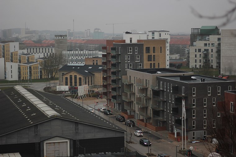
Vejgaard
Suburb

Photo: Edam66, Public domain.
Vejgaard is an eastern neighborhood of Aalborg, Denmark.
Vejgaard Skatehal
- Type: Pitch
- Categories: skateboard, recreation area, and sports location
- Location: Aalborg Municipality, North Jutland, Jutland, Denmark, Nordic countries, Europe
- View on OpenStreetMap
Latitude
57.04512° or 57° 2′ 42″ northLongitude
9.95331° or 9° 57′ 12″ eastOpen location code
9F9F2XW3+28OpenStreetMap ID
node 11336858011OpenStreetMap feature
leisure=pitchOpenStreetMap feature
sport=skateboard
This page is based on OpenStreetMap, Wikidata, and Wikimedia Commons.
We’d love your help improving our open data sources. Thank you for contributing.
Satellite Map
Discover Vejgaard Skatehal from above in high-definition satellite imagery.
Notable Places Nearby
Highlights include Hvilehøj and Hvilehøj - Signalbakken.
Nearby Places
Explore places such as Lundbyesgade (Øster Sundby Vej / Aalborg) and Lundbyesgade.
North Jutland: Must-Visit Destinations
Delve into Aalborg, Frederikshavn, Skagen, and Hjørring.
Curious Pitches to Discover
Uncover intriguing pitches from every corner of the globe.
About Mapcarta. Data © OpenStreetMap contributors and available under the Open Database License". Text is available under the CC BY-SA 4.0 license, except for photos, directions, and the map. Photo: Slaunger, CC BY-SA 3.0.