Костов чукар
Костов чукар is a peak in Gurkovo, Stara Zagora and has an elevation of 631 metres. Костов чукар is situated nearby to the village Brestova, as well as near Nova makhala.| Tap on a place to explore it |
Places in the Area
Nearby places include Nikolaevo and Gurkovo.
Nikolaevo
Town

Photo: Spiritia, CC BY-SA 4.0.
Nikolaevo is a small town in Stara Zagora Province, in central Bulgaria. It is the administrative centre of the homonymous Nikolaevo Municipality. It is situated in the Kazanlak Valley at the foothills of the Balkan Mountains.
Gurkovo
Town
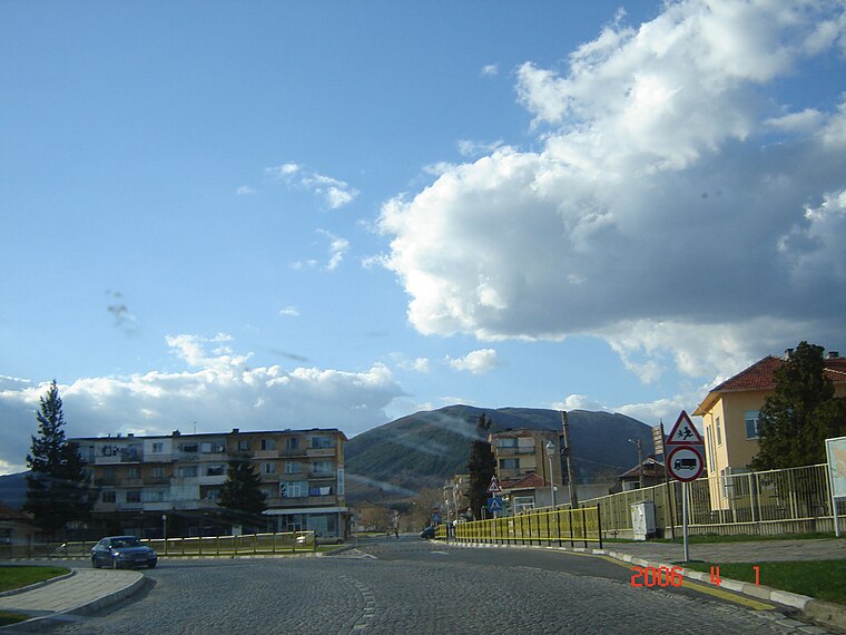
Photo: Stainberger, Public domain.
Gurkovo is a small town in the Stara Zagora Province, south-central Bulgaria. It is situated in the Tvarditsa Valley at the foothills of the Balkan Mountains.

Костов чукар
- Type: Peak with an elevation of 631 metres
- Category: landform
- Location: Gurkovo, Stara Zagora, Bulgaria, Balkans, Europe
- View on OpenStreetMap
Latitude
42.6429° or 42° 38′ 34″ northLongitude
25.7558° or 25° 45′ 21″ eastElevation
631 metres (2,070 feet)Open location code
8GJ7JQV4+48OpenStreetMap ID
node 1134205841OpenStreetMap feature
natural=peak
This page is based on OpenStreetMap, Wikidata, and Wikimedia Commons.
We’d love your help improving our open data sources. Thank you for contributing.
Satellite Map
Discover Костов чукар from above in high-definition satellite imagery.
Localities in the Area
Explore places such as Brestova and Nova makhala.
Notable Places Nearby
Highlights include Лавандулово поле and Чуката.
Bulgaria: Must-Visit Destinations
Delve into Sofia, Veliko Tarnovo, Varna, and Plovdiv.
Curious Peaks to Discover
Uncover intriguing peaks from every corner of the globe.
About Mapcarta. Data © OpenStreetMap contributors and available under the Open Database License". Text is available under the CC BY-SA 4.0 license, except for photos, directions, and the map. Photo: Pamporoff, Public domain.