Bob’s Butchers & Deli
Bob’s Butchers & Deli is a butcher in Hatfield, Hertfordshire, England. Bob’s Butchers & Deli is situated nearby to South Hatfield Post Office, as well as near the community center Hilltop Community Centre.| Tap on a place to explore it |
Places of Interest Nearby
Highlights include The Hatfield Tap and Oxleys Wood.
The Hatfield Tap
Pub

Photo: RobThinks, CC BY-SA 4.0.
The Hatfield Tap is a pub, which is situated 370 feet south of Bob’s Butchers & Deli.
Oxleys Wood
Forest
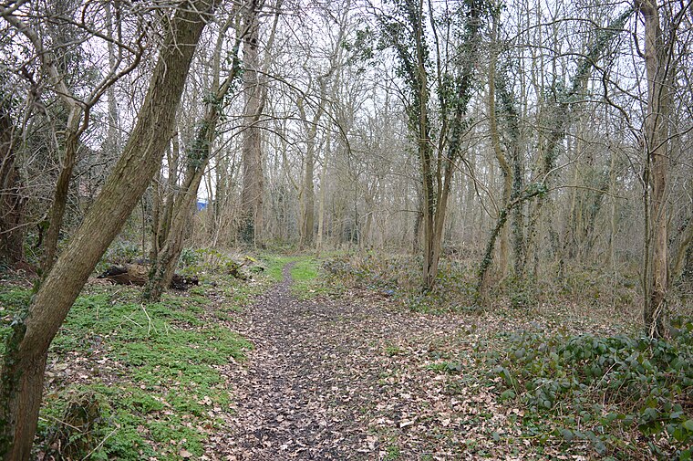
Photo: Dudley Miles, CC BY-SA 4.0.
Oxleys Wood is a 1.2 hectare Local Nature Reserve in Hatfield in Hertfordshire. The declaring authority is Welwyn Hatfield Borough Council. The wood floods in wet weather, particularly the northern part, which has a pond.
The Galleria
Shopping center

Photo: Barry Lawson, CC BY-SA 2.0.
The Galleria is a designer outlet centre in Hatfield, Hertfordshire in South-East England. The Galleria is situated 1 mile north of Bob’s Butchers & Deli.
Places in the Area
Nearby places include Sleapshyde and Colney Heath.
Sleapshyde
Hamlet
Sleapshyde is a small village in Hertfordshire, United Kingdom. It is located between Hatfield and St Albans, to the south of Smallford and to the north of Colney Heath, of which it is located in the civil parish of.
Colney Heath
Village
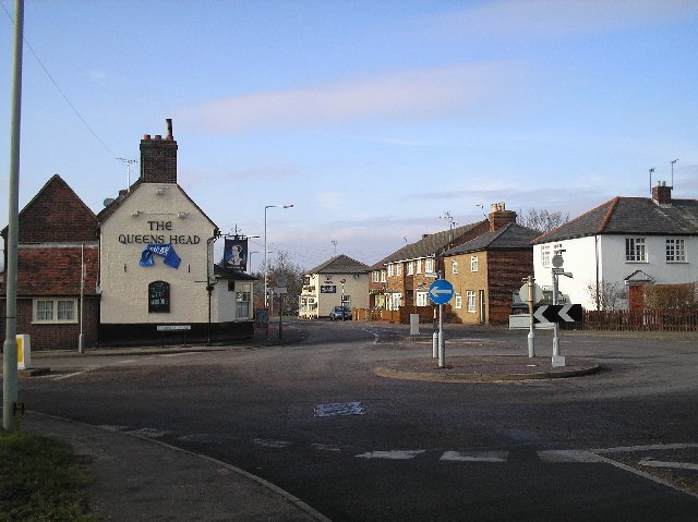
Photo: Barry Lawson, CC BY-SA 2.0.
Colney Heath is a large village in Hertfordshire, England. The village became a civil parish in 1947 when the St. Peter Rural parish was split to form Colney Heath and London Colney.
Welham Green
Village

Photo: Nigel Cox, CC BY-SA 2.0.
Welham Green is a village in the parish of North Mymms, Hertfordshire, England. It is situated a mile to the west of the Great North Road coaching route that used to run through the neighbouring hamlet of Bell Bar from London to York and the north.
Bob’s Butchers & Deli
- Type: Butcher
- Categories: shop and food
- Location: Hatfield, Welwyn Hatfield, Hertfordshire, East of England, England, United Kingdom, Britain and Ireland, Europe
- View on OpenStreetMap
Latitude
51.74906° or 51° 44′ 57″ northLongitude
-0.23433° or 0° 14′ 4″ westOpen location code
9C3XPQX8+J7OpenStreetMap ID
node 11345348820OpenStreetMap feature
shop=butcher
This page is based on OpenStreetMap, Wikidata, and Wikimedia Commons.
We’d love your help improving our open data sources. Thank you for contributing.
Satellite Map
Discover Bob’s Butchers & Deli from above in high-definition satellite imagery.
Notable Places Nearby
Highlights include South Hatfield Post Office and Hilltop Community Centre.
Nearby Places
Explore places such as The Rise and Crest House.
Hertfordshire: Must-Visit Destinations
Delve into St Albans, Watford, Stevenage, and Hertford.
Curious Butchers to Discover
Uncover intriguing butchers from every corner of the globe.
About Mapcarta. Data © OpenStreetMap contributors and available under the Open Database License". Text is available under the CC BY-SA 4.0 license, except for photos, directions, and the map. Photo: RobThinks, CC BY-SA 4.0.