Emir’s Salon
Emir’s Salon is a hairdresser in Neath, Wales. Emir’s Salon is situated nearby to the art gallery The Studio Glass & Stuff, as well as near Ambassador Hotel.| Tap on a place to explore it |
Places of Interest Nearby
Highlights include Neath Castle and Neath Indoor Market.
Neath Castle
Castle
Neath Castle is a Norman castle located in the town centre of Neath, Wales. Its construction was begun by Robert, Earl of Gloucester, the nominal Lord of Glamorgan, at a date estimated between 1114 and 1130. Neath Castle is situated 660 feet northeast of Emir’s Salon.
Neath Indoor Market
Marketplace

Photo: SwalesM, CC BY-SA 4.0.
Neath Indoor Market is an indoor market located in the town centre of Neath, Wales. The market building dates back to 1837. It was renovated in 1904, and most recently in 1999. Neath Indoor Market is situated 500 feet south of Emir’s Salon.
Neath railway station
Railway station
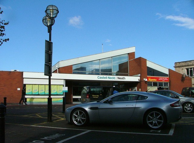
Photo: Alan Roberts, CC BY-SA 2.0.
Neath railway station is a main line railway station serving the town of Neath, south Wales. Managed by Transport for Wales, the station is located at street level on Windsor Road, situated back from the street fronting a small car park. Neath railway station is situated 900 feet south of Emir’s Salon.
Places in the Area
Nearby places include Cadoxton-Juxta-Neath and Cimla.
Cadoxton-Juxta-Neath
Village

Photo: Cedwyn Davies, CC BY-SA 2.0.
Cadoxton is a village situated in Neath Port Talbot county borough, Wales. Cadoxton is located just outside the town of Neath and borders the villages of Cilfrew and Bryncoch.
Cimla
Suburb
Cimla is a village and suburb of the town of Neath in the county borough of Neath Port Talbot, Wales. It is set high up on a hill. It is pronounced Kim-la.
Bryncoch
Village

Photo: Cedwyn Davies, CC BY-SA 2.0.
Bryncoch is a village near Neath in Neath Port Talbot County Borough, Wales. The name derives from the Welsh 'red hill', originally the name of a nearby farm.
Emir’s Salon
- Type: Hairdresser
- Category: shop
- Location: Neath, Neath Port Talbot, Wales, United Kingdom, Britain and Ireland, Europe
- View on OpenStreetMap
Latitude
51.66439° or 51° 39′ 52″ northLongitude
-3.80618° or 3° 48′ 22″ westOpen location code
9C3RM57V+QGOpenStreetMap ID
node 11349302464OpenStreetMap feature
shop=hairdresser
This page is based on OpenStreetMap, Wikidata, and Wikimedia Commons.
We’d love your help improving our open data sources. Thank you for contributing.
Satellite Map
Discover Emir’s Salon from above in high-definition satellite imagery.
Notable Places Nearby
Highlights include The Studio Glass & Stuff and Ambassador Hotel.
Nearby Places
Explore places such as Smashed Raspberry and Reign.
Wales: Must-Visit Destinations
Delve into Cardiff, Swansea, Newport, and Llanfairpwllgwyngyll.
Curious Hairdressers to Discover
Uncover intriguing hairdressers from every corner of the globe.
About Mapcarta. Data © OpenStreetMap contributors and available under the Open Database License". Text is available under the CC BY-SA 4.0 license, except for photos, directions, and the map. Photo: fionamcallisterphotography, CC BY 2.0.