Westholme Farm
Westholme Farm is a farm in Witton-le-Wear, County Durham, England. Westholme Farm is situated nearby to Witton-le-Wear Primary School, as well as near the community center Witton-Le-Wear Community Centre.| Tap on a place to explore it |
Places of Interest Nearby
Highlights include Church of St Philip and St James and Witton-le-Wear railway station.
Church of St Philip and St James
Church

Photo: Hugh Mortimer, CC BY-SA 2.0.
Church of St Philip and St James is situated 1,900 feet southeast of Westholme Farm.
Witton-le-Wear railway station
Railway station

Photo: Alan Murray-Rust, CC BY-SA 2.0.
Witton-le-Wear railway station is a railway station on the Weardale heritage railway serves the village of Witton-le-Wear in County Durham, North East England, and is the penultimate stop for most of line's eastbound passenger services. Witton-le-Wear railway station is situated 3,000 feet east of Westholme Farm.
Witton Castle
Castle

Photo: Hugh Mortimer, CC BY-SA 2.0.
Witton Castle is a much-altered 15th-century castle, which is the centrepiece of a holiday and caravan country park at Witton le Wear, near Bishop Auckland, County Durham. It is a Grade II* listed building. Witton Castle is situated 1 mile southeast of Westholme Farm.
Places in the Area
Nearby places include Witton-le-Wear and Howden-le-Wear.
Witton-le-Wear
Village

Photo: Hugh Mortimer, CC BY-SA 2.0.
Witton-le-Wear is a village in County Durham, North East England. It is situated on the north bank of the River Wear, 6 km to the north-west of Bishop Auckland.
Howden-le-Wear
Village
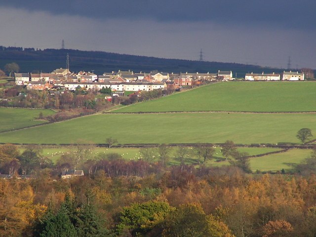
Photo: Hugh Mortimer, CC BY-SA 2.0.
Howden-le-Wear is a village in County Durham, in England. Howden-le-Wear is approximately 1 mile south of the large market town of Crook. It has a number of shops including the village One Stop convenience store, hairdressers, butchers and the petrol station. Howden-le-Wear is situated 1½ miles northeast of Westholme Farm.
Hamsterley
Village
Hamsterley is a village in County Durham, England. It is situated a few miles west of Bishop Auckland. The village lies on a rise above the upper reaches of the Wear valley. Hamsterley is situated 1½ miles west of Westholme Farm.
Westholme Farm
- Type: Farm
- Categories: locality and agriculture
- Location: Witton-le-Wear, County Durham, North East England, England, United Kingdom, Britain and Ireland, Europe
- View on OpenStreetMap
Latitude
54.67873° or 54° 40′ 43″ northLongitude
-1.78053° or 1° 46′ 50″ westOpen location code
9C6WM6H9+FQOpenStreetMap ID
node 11365165785OpenStreetMap feature
place=farm
This page is based on OpenStreetMap, Wikidata, and Wikimedia Commons.
We’d love your help improving our open data sources. Thank you for contributing.
Satellite Map
Discover Westholme Farm from above in high-definition satellite imagery.
Places with the Same Name
Discover other places named “Westholme Farm”.
Notable Places Nearby
Highlights include Witton-le-Wear Primary School and Witton-Le-Wear Community Centre.
Nearby Places
Explore places such as Daleside Garage and High Garth Farm.
County Durham: Must-Visit Destinations
Delve into Durham, Darlington, Hartlepool, and Stockton-on-Tees.
Curious Farms to Discover
Uncover intriguing farms from every corner of the globe.
About Mapcarta. Data © OpenStreetMap contributors and available under the Open Database License". Text is available under the CC BY-SA 4.0 license, except for photos, directions, and the map. Photo: Roberto Strauss, CC BY 2.0.