Comune di Surbo
Comune di Surbo is a town hall in Surbo, Lecce, Apulia which is located on Via Pisanelli. Comune di Surbo is situated nearby to the police station Polizia locale, as well as near the church Chiesa di San Pantaleone.| Tap on a place to explore it |
- Email: comunesurbo@pec.it
- Type: Town hall
- Also known as: “Municipio di Surbo”
- Address: Via Pisanelli 23, Surbo, Lecce 73010
Places of Interest Nearby
Highlights include Church of Saint-Mary of Aurio and Sanctuary of Sant’Oronzo fuori le mura.
Church of Saint-Mary of Aurio
Church

Photo: Marzoide88, CC BY-SA 3.0.
Church of Saint-Mary of Aurio is situated 2 km east of Comune di Surbo.
Sanctuary of Sant’Oronzo fuori le mura
Church

Photo: Felix Kepp, CC BY-SA 4.0.
Sanctuary of Sant’Oronzo fuori le mura is a church, which is situated 3 km east of Comune di Surbo.
Places in the Area
Nearby places include Trepuzzi and Lecce.
Trepuzzi
Town

Photo: Wk3p, CC BY-SA 4.0.
Trepuzzi is a town and comune in the province of Lecce in the Apulia region of south-east Italy. Trepuzzi is situated 5 km west of Comune di Surbo.
Lecce

Photo: MatthiasKabel, CC BY 2.5.
Lecce is a city in the Apulia region of Italy. Lecce has been dubbed "the Florence of the south". Whereas many people skip it in favour of the nearby beach towns of the Salento peninsula, this city, distinguished by its elaborate style of baroque buildings, has at least a couple of days of attractions worth seeing.
Novoli
Village
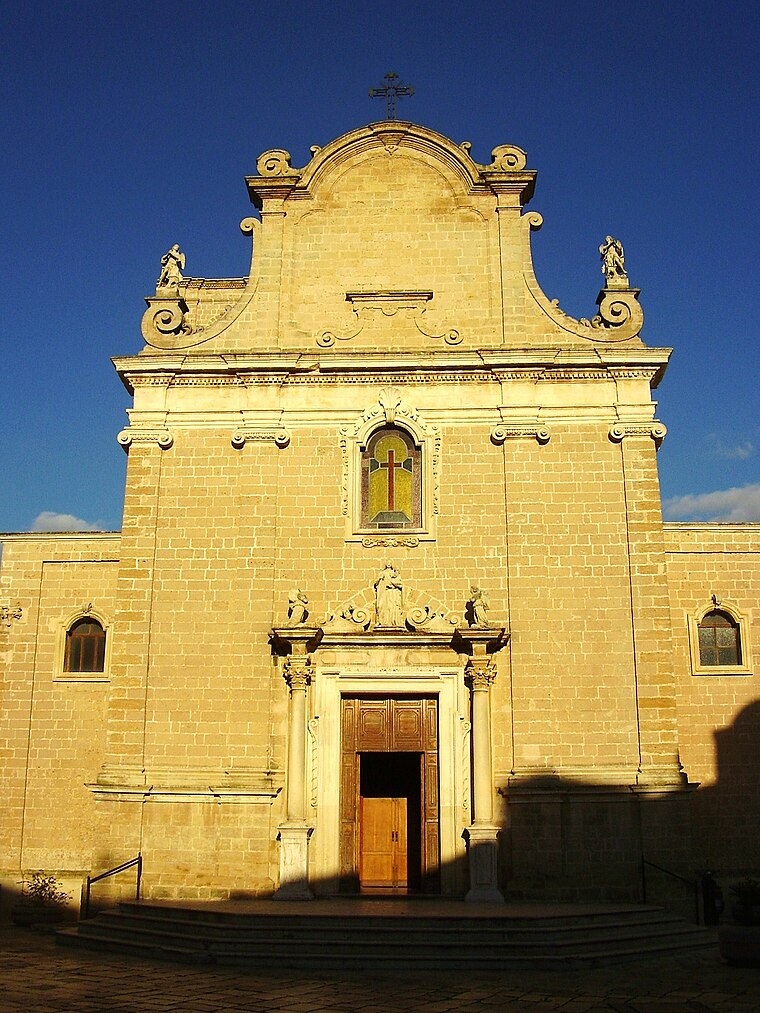
Photo: Lupiae, CC BY-SA 3.0.
Novoli is a town and comune in the Italian province of Lecce in the Apulia region of south-east Italy. Novoli is situated 7 km west of Comune di Surbo.
Comune di Surbo
- Category: government building
- Location: Surbo, Lecce, Apulia, Southern Italy, Italy, Europe
- View on OpenStreetMap
Latitude
40.39689° or 40° 23′ 49″ northLongitude
18.13336° or 18° 8′ 0″ eastOpen location code
8FGW94WM+Q8OpenStreetMap ID
node 11368420895OpenStreetMap feature
amenity=townhall
This page is based on OpenStreetMap, Wikidata, and Wikimedia Commons.
We’d love your help improving our open data sources. Thank you for contributing.
Satellite Map
Discover Comune di Surbo from above in high-definition satellite imagery.
Places with the Same Name
Discover other places named “Comune di Surbo”.
Notable Places Nearby
Highlights include Polizia locale and Chiesa di San Pantaleone.
Nearby Places
Explore places such as Macelleria da Lucio and Bar Taverna.
Lecce: Must-Visit Destinations
Delve into Lecce, Otranto, Gallipoli, and Nardò.
Curious Town Halls to Discover
Uncover intriguing town halls from every corner of the globe.
About Mapcarta. Data © OpenStreetMap contributors and available under the Open Database License". Text is available under the CC BY-SA 4.0 license, except for photos, directions, and the map. Photo: Wikimedia, CC0.