Aire picnic
Aire picnic is a park in Montgomery County, Capital Region, Maryland. Aire picnic is situated nearby to the islet Swainson Island, as well as near the river Lock 10.| Tap on a place to explore it |
Places of Interest Nearby
Highlights include Lock 10 and Lock 9.


Plummers Island
Islet

Photo: Every-leaf-that-trembles, CC BY-SA 4.0.
Plummers Island is a 12-acre Potomac River island in Montgomery County, Maryland, about nine miles upriver from Washington, D.C. The Washington Biologists' Field Club has called the island "the most thoroughly studied island in North America".
Places in the Area
Nearby places include Cabin John and Carderock Springs Historic District.
Cabin John
Village
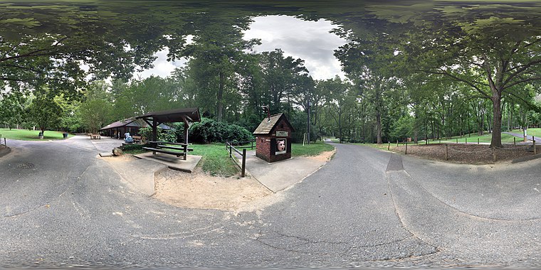
Photo: Fuzheado, CC BY-SA 4.0.
Cabin John is a census-designated place and unincorporated area in Montgomery County, Maryland, United States. As of the 2020 census, it had a population of 2,459. Overlooking the Potomac River, it is a suburb of Washington, D.C.…
Carderock Springs Historic District
Neighborhood

Photo: Farragutful, CC BY-SA 3.0.
Carderock Springs Historic District is a national historic district located at Bethesda, Montgomery County, Maryland. The district encompasses 275 modernist houses located northwest of Bethesda.
Carderock
Locality
Carderock is an unincorporated community in Montgomery County, Maryland, United States, along the Potomac River. It is located in the southern part of the Potomac census-designated place and western part of the Bethesda postal area.
Aire picnic
- Type: Park
- Category: recreation area
- Location: Montgomery County, Capital Region, Maryland, Mid-Atlantic, United States, North America
- View on OpenStreetMap
Latitude
38.97043° or 38° 58′ 14″ northLongitude
-77.16906° or 77° 10′ 9″ westOpen location code
87C4XRCJ+59OpenStreetMap ID
node 11385771410OpenStreetMap feature
leisure=park
This page is based on OpenStreetMap, Wikidata, and Wikimedia Commons.
We’d love your help improving our open data sources. Thank you for contributing.
Satellite Map
Discover Aire picnic from above in high-definition satellite imagery.
Places with the Same Name
Discover other places named “Aire picnic”.
Notable Places Nearby
Highlights include Swainson Island and Chesapeake and Ohio Canal.
Nearby Places
Explore places such as Lockhouse 10 and Lockhouse 11.
Montgomery County: Must-Visit Destinations
Delve into Rockville, Bethesda, Gaithersburg, and Silver Spring.
Curious Parks to Discover
Uncover intriguing parks from every corner of the globe.
About Mapcarta. Data © OpenStreetMap contributors and available under the Open Database License". Text is available under the CC BY-SA 4.0 license, except for photos, directions, and the map. Photo: Wikimedia, CC0.