Tolkien Way
Tolkien Way is a bus stop in Stoke-on-Trent, England. Tolkien Way is situated nearby to Hartshill Park, as well as near Penkhull Park Playground.| Tap on a place to explore it |
Places of Interest Nearby
Highlights include Stoke-on-Trent Railway Station and Spode Museum.
Stoke-on-Trent Railway Station
Railway station
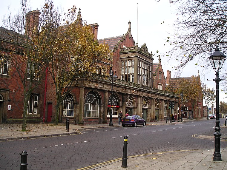
Photo: NoelWalley, CC BY-SA 3.0.
Stoke-on-Trent railway station is a mainline railway station serving the city of Stoke-on-Trent, on the Stafford to Manchester branch of the West Coast Main Line. Stoke-on-Trent Railway Station is situated 3,200 feet east of Tolkien Way.
Spode Museum
Museum
The Spode Museum is based in Stoke-on-Trent, England, where Josiah Spode, known for his role in the Industrial Revolution, established his pottery business in 1774. Spode Museum is situated 2,500 feet southeast of Tolkien Way.
Etruria Industrial Museum
Museum

Photo: Ashley Dace, CC BY-SA 2.0.
The Etruria Industrial Museum is located in Etruria, Staffordshire, in England. The museum is a typical and well-preserved example of a nineteenth century British steam-powered potter's mill. Etruria Industrial Museum is situated 3,700 feet north of Tolkien Way.
Places in the Area
Nearby places include Stoke-upon-Trent and Shelton.
Stoke-upon-Trent
Town
Photo: NoelWalley, CC BY-SA 3.0.
Stoke-upon-Trent, also known as Stoke, is one of the six towns that along with Hanley, Burslem, Fenton, Longton and Tunstall form the city of Stoke-on-Trent, in Staffordshire, England.
Shelton
Suburb
Shelton is an area of the city of Stoke-on-Trent in Staffordshire, England, between Hanley and Stoke-upon-Trent.
Etruria
Suburb

Photo: David Stowell, CC BY-SA 2.0.
Etruria is a suburb of Stoke-on-Trent, Staffordshire, England.
Tolkien Way
- Type: Bus stop
- Category: transportation
- Location: Stoke-on-Trent, England, United Kingdom, Britain and Ireland, Europe
- View on OpenStreetMap
Latitude
53.0087° or 53° 0′ 31″ northLongitude
-2.19561° or 2° 11′ 44″ westOpen location code
9C5V2R53+FQOpenStreetMap ID
node 11403425502OpenStreetMap feature
highway=bus_stopOpenStreetMap feature
public_transport=platform
This page is based on OpenStreetMap, Wikidata, and Wikimedia Commons.
We’d love your help improving our open data sources. Thank you for contributing.
Satellite Map
Discover Tolkien Way from above in high-definition satellite imagery.
Notable Places Nearby
Highlights include Hartshill Park and Penkhull Park Playground.
Nearby Places
Explore places such as Quarry Road and Richmond Street.
England: Must-Visit Destinations
Delve into London, Manchester, Sheffield, and Leeds.
Curious Bus Stops to Discover
Uncover intriguing bus stops from every corner of the globe.
About Mapcarta. Data © OpenStreetMap contributors and available under the Open Database License". Text is available under the CC BY-SA 4.0 license, except for photos, directions, and the map. Photo: Leereyno, CC BY-SA 3.0.