WW2 Spigot Mortar emplacement
WW2 Spigot Mortar emplacement is a historic site in Greenwich, Greater London, England. WW2 Spigot Mortar emplacement is situated nearby to the meadow Eltham Common, as well as near Ark Greenwich Free School.| Tap on a place to explore it |
Places of Interest Nearby
Highlights include Severndroog Castle and Christ Church.
Severndroog Castle

Photo: Veghead, Public domain.
Severndroog Castle is a folly designed by architect Richard Jupp, with the first stone laid on 2 April 1784. While commonly referred to as a castle due to its turrets, it was built as a folly, as can be discerned by its small size and because it has never functioned as a castle. Severndroog Castle is situated 1,700 feet southeast of WW2 Spigot Mortar emplacement.
Christ Church
Church

Photo: Ethan Doyle White, CC BY-SA 4.0.
Christ Church is situated 1,000 feet east of WW2 Spigot Mortar emplacement.
Ark Greenwich Free School
School

Photo: Paul W, CC BY-SA 4.0.
Ark Greenwich Free School is a co-educational secondary free school located in the Woolwich area of the Royal Borough of Greenwich in London, England. The school opened as Greenwich Free School in September 2012 with an initial intake of 11-year-old pupils, with the school expanding admissions every year to eventually become a full secondary school with a sixth form. Ark Greenwich Free School is situated 890 feet northwest of WW2 Spigot Mortar emplacement.
Places in the Area
Nearby places include Shooter’s Hill and Woolwich.
Shooter’s Hill
Suburb
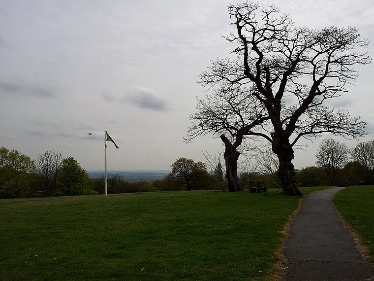
Photo: Kleon3, CC BY-SA 4.0.
Shooter's Hill is a district of South East London, England, straddling the Royal Borough of Greenwich and the London Borough of Bexley. It lies north of Eltham and south of Woolwich.
Woolwich
Town

Photo: Kleon3, CC BY-SA 4.0.
Woolwich is a market town in southeast London, England, within the Royal Borough of Greenwich. The district's location on the River Thames led to its status as an important naval, military and industrial area; a role that was maintained throughout the 16th to 20th centuries.
Well Hall
Suburb
Well Hall is a place to the north of Eltham in the Royal Borough of Greenwich in southeast London, England, with no present formal boundaries and located 13.5 km east-southeast of Charing Cross.
WW2 Spigot Mortar emplacement
- Type: Historic site
- Categories: tourist attraction and tourism
- Location: Greenwich, Greater London, London, England, United Kingdom, Britain and Ireland, Europe
- View on OpenStreetMap
Latitude
51.47043° or 51° 28′ 14″ northLongitude
0.05599° or 0° 3′ 22″ eastOpen location code
9F32F3C4+59OpenStreetMap ID
node 11439041788OpenStreetMap feature
historic=yes
This page is based on OpenStreetMap, Wikidata, and Wikimedia Commons.
We’d love your help improving our open data sources. Thank you for contributing.
Satellite Map
Discover WW2 Spigot Mortar emplacement from above in high-definition satellite imagery.
Notable Places Nearby
Highlights include Eltham Common and King George’s Field.
Nearby Places
Explore places such as Well Hall Road / Shooters Hill Road and Well Hall Road / Broad Walk.
London: Must-Visit Destinations
Delve into South Kensington-Chelsea, Heathrow Airport, City of London, and Westminster.
Curious Historic Sites to Discover
Uncover intriguing historic sites from every corner of the globe.
About Mapcarta. Data © OpenStreetMap contributors and available under the Open Database License". Text is available under the CC BY-SA 4.0 license, except for photos, directions, and the map. Photo: Diliff, CC BY 3.0.