Point de vue sur le Rocher du Diamant
Point de vue sur le Rocher du Diamant is a scenic viewpoint in Les Anses-d’Arlet, Arrondissement du Marin. Point de vue sur le Rocher du Diamant is situated nearby to the peak Morne Larcher, as well as near the islet Diamond Rock.| Tap on a place to explore it |
Places of Interest Nearby
Highlights include Morne Larcher and Maison du Bagnard.

Maison du Bagnard
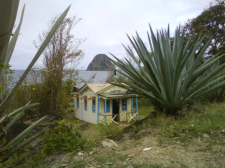
Photo: Jean-Louis Lascoux, CC BY-SA 3.0.
Maison du Bagnard is situated 1¼ km northeast of Point de vue sur le Rocher du Diamant.
Cap 110
Work of art

Photo: Korido, CC BY-SA 3.0.
Cap 110 is a work of art, which is situated 1½ km northeast of Point de vue sur le Rocher du Diamant.
Places in the Area
Nearby places include Le Diamant and Trois-Ilets.
Le Diamant

Photo: Monster1000, CC BY-SA 3.0.
Le Diamant is a town and commune in the French overseas department of Martinique.
Trois-Ilets
 Les Trois-Îlets is a resort town in the French overseas territory of Martinique, in the Caribbean. It is home to about 8000 people and known as the birth place of Napoleon's wife Joséphine.
Point de vue sur le Rocher du Diamant
- Type: Scenic viewpoint
- Category: tourism
- Location: Les Anses-d’Arlet, Arrondissement du Marin, Martinique, Lesser Antilles, Caribbean, North America
- View on OpenStreetMap
Latitude
14.45512° or 14° 27′ 18″ northLongitude
-61.05703° or 61° 3′ 25″ westOpen location code
776WFW4V+25OpenStreetMap ID
node 1149341465OpenStreetMap feature
tourism=viewpoint
This page is based on OpenStreetMap, Wikidata, and Wikimedia Commons.
We’d love your help improving our open data sources. Thank you for contributing.
Satellite Map
Discover Point de vue sur le Rocher du Diamant from above in high-definition satellite imagery.
Notable Places Nearby
Highlights include Terrain de Football de Petite Anse and Église Adventiste Du Septième Jour.
Nearby Places
Explore places such as Anse Caffard - Petite Anse and Résidence Les Océanides.
Martinique: Must-Visit Destinations
Delve into Fort-de-France, Saint-Pierre, Sainte-Anne, and Le Diamant.
Curious Scenic Viewpoints to Discover
Uncover intriguing scenic viewpoints from every corner of the globe.
About Mapcarta. Data © OpenStreetMap contributors and available under the Open Database License". Text is available under the CC BY-SA 4.0 license, except for photos, directions, and the map. Photo: Inkey, CC BY-SA 3.0.