Butte de Tubœuf
Butte de Tubœuf is a peak in Brie-Comte-Robert, Arrondissement of Torcy, Île-de-France. Butte de Tubœuf is situated nearby to the locality Les Ruisseaux, as well as near La Borde.| Tap on a place to explore it |
Places of Interest
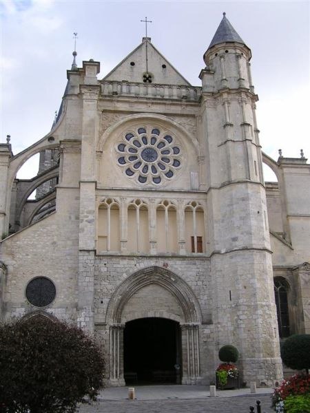
Highlights include Town hall of Brie-Comte-Robert and Church of Saint-Étienne, Brie-Comte-Robert.


Places in the Area
Nearby places include Combs-la-Ville and Servon.
Combs-la-Ville
Town

Photo: Chabe01, CC BY-SA 4.0.
Combs-la-Ville is a commune in the south-eastern suburbs of Paris, in the Seine-et-Marne department in the Île-de-France in north-central France. It is located 25.5 km from the center of Paris, in the "new town" of Sénart, created in the 1970s.
Servon
Village

Photo: François GOGLINS, CC BY-SA 3.0.
Servon is a commune in the Seine-et-Marne department in the Île-de-France region in north-central France.
Santeny
Village

Photo: Indif, CC BY-SA 3.0.
Santeny is a commune in the southeastern suburbs of Paris, France. It is located 21.8 km from the center of Paris.
Butte de Tubœuf
- Type: Peak
- Category: landform
- Location: Brie-Comte-Robert, Arrondissement of Torcy, Seine-et-Marne, Île-de-France, France, Europe
- View on OpenStreetMap
Latitude
48.7031° or 48° 42′ 11″ northLongitude
2.6152° or 2° 36′ 55″ eastOpen location code
8FW4PJ38+63OpenStreetMap ID
node 11500714557OpenStreetMap feature
natural=peak
This page is based on OpenStreetMap, Wikidata, and Wikimedia Commons.
We’d love your help improving our open data sources. Thank you for contributing.
Satellite Map
Discover Butte de Tubœuf from above in high-definition satellite imagery.
Localities in the Area
Explore places such as Les Ruisseaux and La Borde.
Notable Places Nearby
Highlights include Relais colis and Club de tir de Brie Comte Robert.
Île-de-France: Must-Visit Destinations
Delve into Paris, Versailles, Boulogne-Billancourt, and Paris Charles de Gaulle Airport.
Curious Peaks to Discover
Uncover intriguing peaks from every corner of the globe.
About Mapcarta. Data © OpenStreetMap contributors and available under the Open Database License". Text is available under the CC BY-SA 4.0 license, except for photos, directions, and the map. Photo: Romain D C, CC BY-SA 3.0.