Hameau de Gascourt
Hameau de Gascourt is a hamlet in Luzarches, Arrondissement of Sarcelles, Île-de-France. Hameau de Gascourt is situated nearby to the hamlet Domaine de la Motte, as well as near the village Luzarches.| Tap on a place to explore it |
Places of Interest
Highlights include Luzarches station and Église Saint-Côme-Saint-Damien de Luzarches.
Luzarches station
Railway station
 Luzarches station is a railway station in the commune of Luzarches, France. The station is served by the Transilien H trains from Paris to Luzarches. The daily number of passengers was less than 500 in 2002.
Église Saint-Côme-Saint-Damien de Luzarches
Church

Photo: GFreihalter, CC BY-SA 3.0.
Église Saint-Côme-Saint-Damien de Luzarches is a church.
Halle de Luzarches
Historic building

Photo: Clicsouris, CC BY-SA 3.0.
Halle de Luzarches is a historic building.
Places in the Area
Nearby places include Coye-la-Forêt and Fosses.
Coye-la-Forêt
Village

Photo: Wikimedia, CC BY-SA 4.0.
Coye-la-Forêt is a commune in the Oise department in northern France. Coye-la-Forêt is situated 5 km northeast of Hameau de Gascourt.
Fosses
Town

Photo: P.poschadel, CC BY-SA 2.0 fr.
Fosses is a commune in the Val-d'Oise department in Île-de-France in northern France. Fosses is situated 6 km east of Hameau de Gascourt.
Goussainville
Town
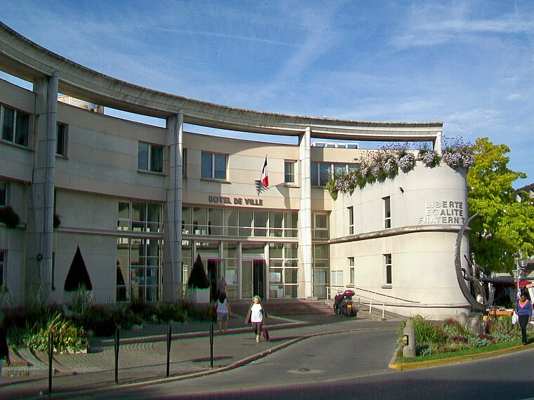
Photo: P.poschadel, CC BY-SA 2.0 fr.
Goussainville is a commune in the department of Val-d'Oise, northern France. It is located 20.6 km north-northeast from the centre of Paris, near Charles de Gaulle Airport. Goussainville is part of the urban unit of Paris. It is known as a ghost town. Goussainville is situated 9 km south of Hameau de Gascourt.
Hameau de Gascourt
- Type: Hamlet
- Category: locality
- Location: Luzarches, Arrondissement of Sarcelles, Val d’Oise, Île-de-France, France, Europe
- View on OpenStreetMap
Latitude
49.10344° or 49° 6′ 12″ northLongitude
2.42894° or 2° 25′ 44″ eastOpen location code
8FX44C3H+9HOpenStreetMap ID
node 11542427019OpenStreetMap feature
place=hamlet
This page is based on OpenStreetMap, Wikidata, and Wikimedia Commons.
We’d love your help improving our open data sources. Thank you for contributing.
Satellite Map
Discover Hameau de Gascourt from above in high-definition satellite imagery.
Localities in the Area
Explore places such as Domaine de la Motte and Luzarches.
Notable Places Nearby
Highlights include Fontaine Messire Gilles and Domaine de Lassy.
Île-de-France: Must-Visit Destinations
Delve into Paris, Versailles, Boulogne-Billancourt, and Paris Charles de Gaulle Airport.
Curious Hamlets to Discover
Uncover intriguing hamlets from every corner of the globe.
About Mapcarta. Data © OpenStreetMap contributors and available under the Open Database License". Text is available under the CC BY-SA 4.0 license, except for photos, directions, and the map. Photo: Patrice78500, Public domain.