Bagno d’Aversa
Bagno d’Aversa is a suburb in Aversa, Province of Caserta, Campania. Bagno d’Aversa is situated nearby to the village Cesa, as well as near the neighborhood Rione Savignano.| Tap on a place to explore it |
Places of Interest
Highlights include Aversa railway station and Aversa Centro station.
Aversa railway station
Railway station

Photo: Dinamo86, CC BY-SA 3.0.
Aversa railway station serves the town and comune of Aversa, in the region of Campania, southern Italy. Opened in 1867, it forms the junction between the Rome–Formia–Naples railway and the Naples–Foggia railway.
Aversa Centro station
Metro station

Photo: Retaggio, CC BY-SA 4.0.
Aversa Centro is an underground metro station that serves Line 11 on the Naples Metro. The previous station is Aversa Ippodromo.
Aversa Cathedral
Church

Photo: Dinamo86, Public domain.
Aversa Cathedral is a Roman Catholic cathedral in the city of Aversa in the province of Caserta, Campania, Italy.
Places in the Area
Nearby places include Aversa and Lusciano.
Aversa
Town

Photo: Dinamo86, CC BY-SA 3.0.
Aversa is a city and comune in the Province of Caserta in Campania, southern Italy, about 24 km north of Naples. It is the centre of an agricultural district, the Agro Aversano, producing wine and cheese.
Lusciano
Town
Lusciano is a comune in the province of Caserta in Campania, Italy. Between 1929 and 1946, it was part of the comune of Aversa. Lusciano is situated 3 km west of Bagno d’Aversa.
Sant’Antimo
Town
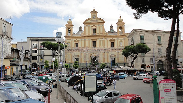
Photo: Sedicinoni, CC BY-SA 3.0.
Sant'Antimo is a comune in the Metropolitan City of Naples in the Italian region Campania, located about 13 km north of Naples. Sant’Antimo is situated 3 km south of Bagno d’Aversa.
Bagno d’Aversa
- Type: Suburb
- Category: locality
- Location: Aversa, Province of Caserta, Campania, Southern Italy, Italy, Europe
- View on OpenStreetMap
Latitude
40.97036° or 40° 58′ 13″ northLongitude
14.22448° or 14° 13′ 28″ eastOpen location code
8FGPX6CF+4QOpenStreetMap ID
node 11561427107OpenStreetMap feature
place=suburb
This page is based on OpenStreetMap, Wikidata, and Wikimedia Commons.
We’d love your help improving our open data sources. Thank you for contributing.
Satellite Map
Discover Bagno d’Aversa from above in high-definition satellite imagery.
Localities in the Area
Explore places such as Cesa and Rione Savignano.
Notable Places Nearby
Highlights include Cimitero Di Cesa and Parco ‘Valerio Taglione’.
Campania: Must-Visit Destinations
Delve into Naples, Vesuvius, Pompeii, and Salerno.
Curious Suburbs to Discover
Uncover intriguing suburbs from every corner of the globe.
About Mapcarta. Data © OpenStreetMap contributors and available under the Open Database License". Text is available under the CC BY-SA 4.0 license, except for photos, directions, and the map. Photo: Wikimedia, CC0.