Clínica Veterinaria i.vet mas.cota
Clínica Veterinaria i.vet mas.cota is a veterinarian in Quintero, Valparaíso Province, Valparaíso Region which is located on Alonso de Quintero. Clínica Veterinaria i.vet mas.cota is situated nearby to the church CFC Filadelfia, as well as near the park Plaza Ignacio Carrera Pinto.| Tap on a place to explore it |
Places of Interest Nearby
Highlights include Quintero Airport.
Quintero Airport
Aerodrome
Quintero Airport, is an airport serving Quintero, a Pacific coastal city in the Valparaíso Region of Chile. Runway 20 has a 140 metres paved overrun. Runway 18 has a 150 metres paved overrun and a 330 metres displaced threshold.
Places in the Area
Nearby places include Loncura and Las Ventanas.

Las Ventanas
Town
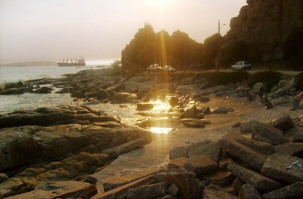
Photo: Ahumada.alejandra, CC BY-SA 4.0.
Las Ventanas is a Chilean city in Puchuncaví commune, Valparaíso Province, Valparaíso Region. Pop. 5,957. Las Ventanas is situated 6 km northeast of Clínica Veterinaria i.vet mas.cota.
Clínica Veterinaria i.vet mas.cota
- Type: Veterinarian
- Address: 264 Alonso de Quintero
- Category: health care
- Location: Quintero, Valparaíso Province, Valparaíso Region, Chile, South America
- View on OpenStreetMap
Latitude
-32.78306° or 32° 46′ 59″ southLongitude
-71.52873° or 71° 31′ 43″ westOpen location code
47VC6F8C+QGOpenStreetMap ID
node 11610001541OpenStreetMap feature
amenity=veterinary
This page is based on OpenStreetMap, Wikidata, and Wikimedia Commons.
We’d love your help improving our open data sources. Thank you for contributing.
Satellite Map
Discover Clínica Veterinaria i.vet mas.cota from above in high-definition satellite imagery.
Notable Places Nearby
Highlights include CFC Filadelfia and Plaza Ignacio Carrera Pinto.
Nearby Places
Explore places such as Centro Médico y Dental Quintero and Gustito Playero.
Chile: Must-Visit Destinations
Delve into Central Chile, Santiago, Valparaíso, and Concepción.
Curious Veterinarians to Discover
Uncover intriguing veterinarians from every corner of the globe.
About Mapcarta. Data © OpenStreetMap contributors and available under the Open Database License". Text is available under the CC BY-SA 4.0 license, except for photos, directions, and the map. Photo: Gerardo Herrera, CC BY-SA 2.0.