Pangea Tropea Hostel
Pangea Tropea Hostel is a hostel in Tropea, Province of Vibo Valentia, Calabria. Pangea Tropea Hostel is situated nearby to the church Annunziata, as well as near the cemetery Cimitero di Tropea.| Tap on a place to explore it |
Places of Interest Nearby
Highlights include Annunziata and Tropea railway station.
Annunziata
Church

Photo: Chris06, Public domain.
Annunziata is a church, which is situated 110 metres north of Pangea Tropea Hostel.
Tropea railway station
Railway station

Photo: Gce, CC BY-SA 3.0.
Tropea railway station is situated 450 metres east of Pangea Tropea Hostel.
Cathedral of Tropea
Church
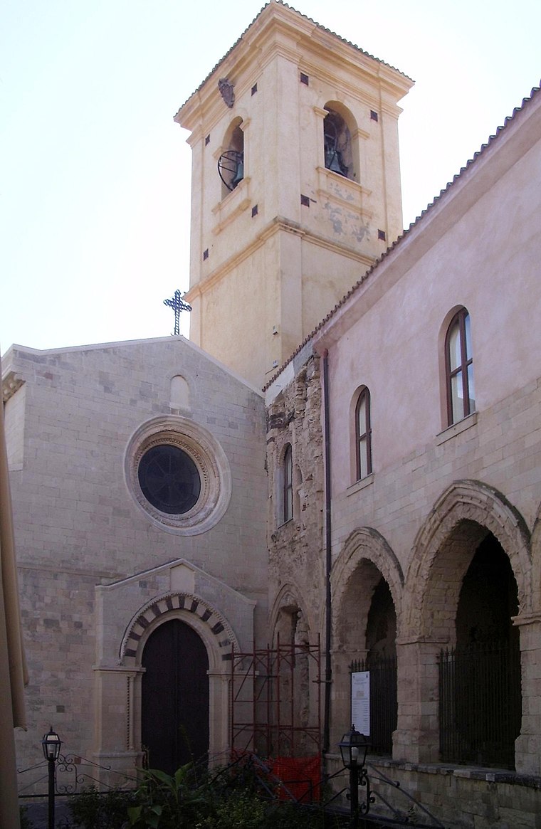
Photo: Chris06, Public domain.
Cathedral of Tropea is a church, which is situated 1 km northeast of Pangea Tropea Hostel.
Places in the Area
Nearby places include Drapia and Parghelia.
Drapia
Village

Photo: Fr.caste, CC BY-SA 3.0.
Drapia is a comune in the Province of Vibo Valentia in the Italian region Calabria, located about 60 kilometres southwest of Catanzaro and about 14 kilometres west of Vibo Valentia.
Parghelia
Village

Photo: Brianza2008, CC BY-SA 3.0.
Parghelia is a comune in the Province of Vibo Valentia in the Italian region Calabria, located about 60 kilometres southwest of Catanzaro and about 15 kilometres west of Vibo Valentia. Parghelia is situated 3 km east of Pangea Tropea Hostel.
Zaccanopoli
Village

Photo: Dv.uzzi, Public domain.
Zaccanopoli is a comune of the province of Vibo Valentia, it possesses around 900 inhabitants. confinements: Briatico, Drapia, Parghelia, Zambrone, Zungri. Zaccanopoli is situated 3½ km east of Pangea Tropea Hostel.
Pangea Tropea Hostel
- Type: Hostel
- Categories: tourism, accommodation, and building
- Location: Tropea, Province of Vibo Valentia, Calabria, Southern Italy, Italy, Europe
- View on OpenStreetMap
Latitude
38.67161° or 38° 40′ 18″ northLongitude
15.88947° or 15° 53′ 22″ eastOpen location code
8FCQMVCQ+JQOpenStreetMap ID
node 11682242420OpenStreetMap feature
tourism=hostel
This page is based on OpenStreetMap, Wikidata, and Wikimedia Commons.
We’d love your help improving our open data sources. Thank you for contributing.
Satellite Map
Discover Pangea Tropea Hostel from above in high-definition satellite imagery.
Notable Places Nearby
Highlights include Cimitero di Tropea and Neptuno.
Nearby Places
Explore places such as B&B Passo del Cavaliere and HairStudio Massimiliano Cimino.
Calabria: Must-Visit Destinations
Delve into Reggio Calabria, Catanzaro, Cosenza, and Crotone.
Curious Hostels to Discover
Uncover intriguing hostels from every corner of the globe.
About Mapcarta. Data © OpenStreetMap contributors and available under the Open Database License". Text is available under the CC BY-SA 4.0 license, except for photos, directions, and the map. Photo: Mboesch, CC BY-SA 4.0.